
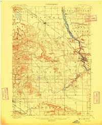
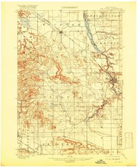
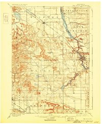
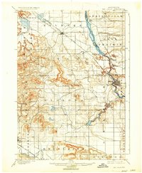
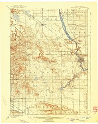
1901 Map of The Dells
USGS Topo · Published 1901About this map
The Wisconsin River carves a dramatic path through the center of this landscape, creating the iconic geological formations of the Lower Dells. By the late nineteenth century, the river had already shaped the regional economy, evident in the concentrated settlement at Kilbourn near the river's bend and the tourist-oriented names like Witches Gulch, Artists Glen, and Coldwater Canyon. The mapping reveals a complex natural topography including distinct landmarks like Rattlesnake Knob, The Haystacks, and Sheep Pasture Bluff.
Find a feature on this map
42 named features on this map. Tap any name to fly to it.
Don’t see what you’re looking for? This feature index may not catch every label — zoom into the map to look around manually.
Map Details
Editions of this 1901 The Dells Map
6 editions found
Other maps of this area

1895 · Baraboo
USGS Topo · 1:62,500

1901 · Denzer
USGS Topo · 1:62,500

1902 · Briggsville
USGS Topo · 1:62,500

1905 · Richland Center
USGS Topo · 1:125,000

1908 · Baraboo
USGS Topo · 1:62,500

1921 · Mauston
USGS Topo · 1:62,500

1956 · Reedsburg
USGS Topo · 1:62,500

1957 · Wisconsin Dells
USGS Topo · 1:62,500

1957 · Madison
USGS Topo · 1:250,000

1958 · Briggsville
USGS Topo · 1:62,500