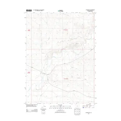
2013 Map of The Nipple NE
USGS Topo · Published 2013About this map
The Little Snake River meanders through the arid, high-altitude terrain of Moffat County, carving a distinct valley through the sagebrush-covered plains. This 2013 survey illustrates a landscape primarily defined by its drainage systems and a sparse network of county roads that service the remote ranching and energy-producing lands of northwestern Colorado. A significant river crossing is documented at Edinger Bridge, where Co Hwy-4 spans the water, providing a vital link in this sparsely populated region.
Find a feature on this map
17 named features on this map. Tap any name to fly to it.
Don’t see what you’re looking for? This feature index may not catch every label — zoom into the map to look around manually.
Map Details
Editions of this 2013 The Nipple NE Map
This is the sole edition of this map. No revisions or reprints were ever made.
Other maps of this area

1916 · Craig
USGS Topo · 1:125,000

1954 · Vernal
USGS Topo · 1:250,000

1954 · Rawlins
USGS Topo · 1:250,000

1954 · Rock Springs
USGS Topo · 1:250,000

1954 · Craig
USGS Topo · 1:250,000

1957 · Craig
USGS Topo · 1:250,000

1958 · Rawlins
USGS Topo · 1:250,000

1958 · Vernal
USGS Topo · 1:250,000

1958 · Rock Springs
USGS Topo · 1:250,000

1958 · Craig
USGS Topo · 1:250,000