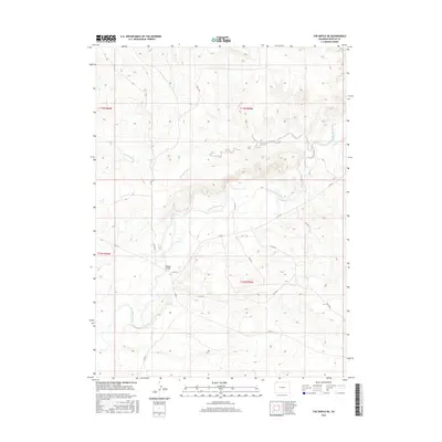
2016 Map of The Nipple NE
USGS Topo · Published 2016About this map
The Little Snake River carves a winding path through the high desert landscape of Moffat County, Colorado, in this 2016 survey. This reach of the river is a critical corridor in the western corner of the state, where the drainage network of Powder Wash feeds into the main river channel. The topography is defined by the sharp transition between the alluvial flats of the river valley and the rising benches of the surrounding terrain.
Find a feature on this map
15 named features on this map. Tap any name to fly to it.
Don’t see what you’re looking for? This feature index may not catch every label — zoom into the map to look around manually.
Map Details
Editions of this 2016 The Nipple NE Map
This is the sole edition of this map. No revisions or reprints were ever made.
Other maps of this area

1916 · Craig
USGS Topo · 1:125,000

1954 · Vernal
USGS Topo · 1:250,000

1954 · Rawlins
USGS Topo · 1:250,000

1954 · Rock Springs
USGS Topo · 1:250,000

1954 · Craig
USGS Topo · 1:250,000

1957 · Craig
USGS Topo · 1:250,000

1958 · Rawlins
USGS Topo · 1:250,000

1958 · Vernal
USGS Topo · 1:250,000

1958 · Rock Springs
USGS Topo · 1:250,000

1958 · Craig
USGS Topo · 1:250,000