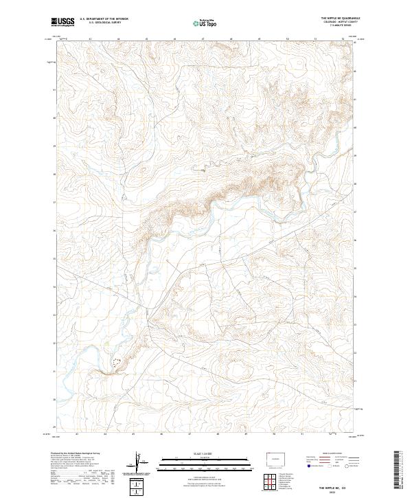
2022 Map of The Nipple NE
USGS Topo · Published 2022About this map
The Little Snake River carves a winding path through this corner of Moffat County, defining the drainage patterns and land divisions of the high desert. This 2022 survey documents a landscape of significant relief and isolation, where the watercourse acts as a primary geographical anchor. The presence of Powder Wash entering the river valley from the north highlights the complex hydrography that has shaped the area's development over decades of ranching and resource management.
Find a feature on this map
14 named features on this map. Tap any name to fly to it.
Don’t see what you’re looking for? This feature index may not catch every label — zoom into the map to look around manually.
Map Details
Editions of this 2022 The Nipple NE Map
This is the sole edition of this map. No revisions or reprints were ever made.
Other maps of this area

1916 · Craig
USGS Topo · 1:125,000

1954 · Vernal
USGS Topo · 1:250,000

1954 · Rawlins
USGS Topo · 1:250,000

1954 · Rock Springs
USGS Topo · 1:250,000

1954 · Craig
USGS Topo · 1:250,000

1957 · Craig
USGS Topo · 1:250,000

1958 · Rawlins
USGS Topo · 1:250,000

1958 · Vernal
USGS Topo · 1:250,000

1958 · Rock Springs
USGS Topo · 1:250,000

1958 · Craig
USGS Topo · 1:250,000