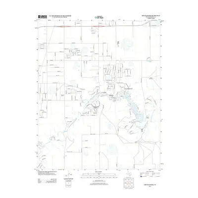
2013 Map of The Palisades
USGS Topo · Published 2013About this map
The Prairie Dog Town Fork Red River carves a deep course through this portion of Randall County, anchoring a landscape where residential communities and ranch lands meet. Modern settlements such as Lake Tanglewood and The Palisades are built into the winding canyon topography, while the smaller enclave of Timbercreek Canyon sits further west along the river bends. The map shows a clear distinction between the flat, grid-based development in the north near Haney and the complex, branching road networks required to navigate the local breaks.
Find a feature on this map
109 named features on this map. Tap any name to fly to it.
Don’t see what you’re looking for? This feature index may not catch every label — zoom into the map to look around manually.
Map Details
Editions of this 2013 The Palisades Map
This is the sole edition of this map. No revisions or reprints were ever made.
Other maps of this area

1954 · Amarillo
USGS Topo · 1:250,000

1954 · Plainview
USGS Topo · 1:250,000

1956 · Fortress Cliff
USGS Topo · 1:24,000

1956 · Amarillo East
USGS Topo · 1:24,000

1956 · Thomas Ranch
USGS Topo · 1:24,000

1956 · Pullman
USGS Topo · 1:24,000

1958 · Amarillo
USGS Topo · 1:250,000

1958 · Plainview
USGS Topo · 1:250,000

1960 · Canyon
USGS Topo · 1:62,500

1960 · The Palisades
USGS Topo · 1:24,000