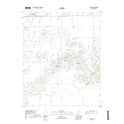
2019 Map of The Palisades
USGS Topo · Published 2019About this map
Lake Tanglewood and the surrounding canyon communities highlight this modern survey of the Texas Panhandle landscape south of Amarillo. The map captures the suburban and recreational development tucked into the erosional breaks where the Prairie Dog Town Fork Red River begins to carve through the plains. Residential clusters such as Palisades and the village of Timbercreek Canyon are shown established within these dramatic geological features, including the upper reaches of Palo Duro Canyon. Local aviation is represented by Blue Sky Airfield and River Falls Airport, serving the growing population centers. Beyond the developed canyon rims, the map details the transition to the flatter agricultural and residential outskirts of Zita near the W Loop 335 S and W Hollywood Rd corridor. Notable landmarks such as Devils Kitchen and Currie Lake illustrate the unique drainage patterns and terrain of Randall County.
Find a feature on this map
161 named features on this map. Tap any name to fly to it.
Don’t see what you’re looking for? This feature index may not catch every label — zoom into the map to look around manually.
Map Details
Editions of this 2019 The Palisades Map
This is the sole edition of this map. No revisions or reprints were ever made.
Other maps of this area

1954 · Amarillo
USGS Topo · 1:250,000

1954 · Plainview
USGS Topo · 1:250,000

1956 · Fortress Cliff
USGS Topo · 1:24,000

1956 · Amarillo East
USGS Topo · 1:24,000

1956 · Thomas Ranch
USGS Topo · 1:24,000

1956 · Pullman
USGS Topo · 1:24,000

1958 · Amarillo
USGS Topo · 1:250,000

1958 · Plainview
USGS Topo · 1:250,000

1960 · Canyon
USGS Topo · 1:62,500

1960 · The Palisades
USGS Topo · 1:24,000