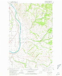
1980 Map of The Pothole
USGS Topo · Published 1981About this map
The Okanogan River corridor defines this landscape, where the Burlington Northern railroad follows the western bank near the Sand Flat and the small settlement of Cherokee. To the east, the Colville Indian Reservation Boundary marks a transition into more dissected terrain characterized by features like The Pothole and the deep cuts of Swipkin Canyon and Pothole Canyon. Local life and history are anchored by landmarks such as St Marys Mission and Riverview Cem in the south.
Find a feature on this map
33 named features on this map. Tap any name to fly to it.
Don’t see what you’re looking for? This feature index may not catch every label — zoom into the map to look around manually.
Map Details
Editions of this 1980 The Pothole Map
2 editions found
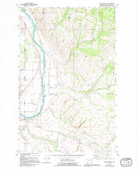
Other maps of this area

1902 · Osoyoos
USGS Topo · 1:125,000

1904 · Osoyoos
USGS Topo · 1:125,000

1905 · Okanogan
USGS Topo · 1:125,000

1906 · Chopaka
USGS Topo · 1:125,000

1953 · Omak Lake
USGS Topo · 1:62,500

1954 · Okanogan
USGS Topo · 1:250,000

1957 · Okanogan
USGS Topo · 1:62,500

1957 · Conconully
USGS Topo · 1:62,500

1957 · Tonasket
USGS Topo · 1:62,500

1958 · Okanogan
USGS Topo · 1:250,000