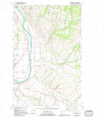
1980 Map of The Pothole
USGS Topo · Published 1994About this map
The Colville Indian Reservation Boundary defines the eastern landscape of this territory, where the terrain shifts from the flat river valley into the complex geography of the Wanacut Basin. Near the southern edge, St Marys Mission sits along the winding course of Omak Creek, serving as a cultural anchor in a region otherwise marked by scattered industry and irrigation. The western corridor is dominated by the Okanogan River, which flows alongside the Burlington Northern railroad and the Old Burnside Highway. This transport spine supported local operations like the north-end Quarry and various Gravel Pits. Local history is preserved at Riverview Cem and a smaller Cem further north, while the presence of Tailings Ponds and a Mill near Wanacut Creek points to the area's mid-century mineral processing and extraction history.
Find a feature on this map
33 named features on this map. Tap any name to fly to it.
Don’t see what you’re looking for? This feature index may not catch every label — zoom into the map to look around manually.
Map Details
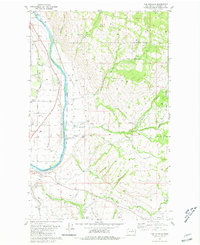
Editions of this 1980 The Pothole Map
2 editions found
Other maps of this area

1902 · Osoyoos
USGS Topo · 1:125,000

1904 · Osoyoos
USGS Topo · 1:125,000

1905 · Okanogan
USGS Topo · 1:125,000

1906 · Chopaka
USGS Topo · 1:125,000

1953 · Omak Lake
USGS Topo · 1:62,500

1954 · Okanogan
USGS Topo · 1:250,000

1957 · Okanogan
USGS Topo · 1:62,500

1957 · Conconully
USGS Topo · 1:62,500

1957 · Tonasket
USGS Topo · 1:62,500

1958 · Okanogan
USGS Topo · 1:250,000