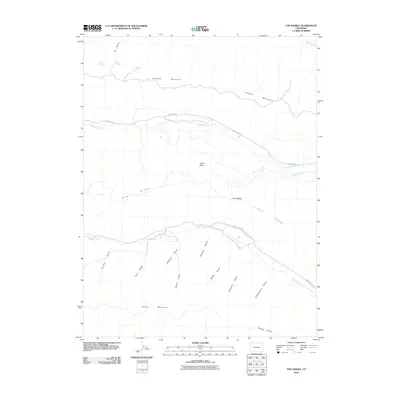
2010 Map of The Saddle
USGS Topo · Published 2010About this map
Kimball Mountain and Horse Mountain dominate this western Colorado landscape, providing a topographical anchor for the high country of Garfield County. The drainage patterns across the terrain are clearly defined by numerous named gulches, including Stewart Gulch, Sawmill Gulch, and Pedigo Gulch, which all feed into the North Dry Fork. The influence of early ranching and water management is evident through features like the Caughman Ditch and Cottonwood Ditch, which redirect local water sources for agricultural use.
Find a feature on this map
25 named features on this map. Tap any name to fly to it.
Don’t see what you’re looking for? This feature index may not catch every label — zoom into the map to look around manually.
Map Details
Editions of this 2010 The Saddle Map
This is the sole edition of this map. No revisions or reprints were ever made.
Other maps of this area

1929 · Highmore
USGS Topo · 1:62,500

1929 · Roan Creek
USGS Topo · 1:62,500

1956 · Grand Junction
USGS Topo · 1:250,000

1959 · Grand Junction
USGS Topo · 1:250,000

1960 · Grand Junction
USGS Topo · 1:250,000

1962 · Grand Junction
USGS Topo · 1:250,000

1964 · Grand Junction
USGS Topo · 1:250,000

1964 · Henderson Ridge
USGS Topo · 1:24,000

1965 · Grand Junction
USGS Topo · 1:250,000
1968 · Middle Dry Fork
USGS Topo · 1:24,000