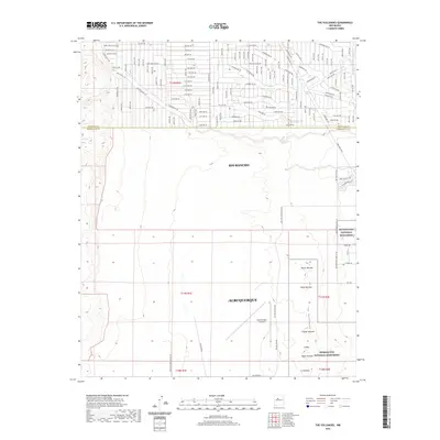
2020 Map of The Volcanoes
USGS Topo · Published 2020About this map
The Volcanoes dominate the western horizon of the Middle Rio Grande Valley, standing as a prominent chain of basaltic cinder cones and fissure vents. This geological alignment includes distinct peaks such as Butte Volcano, Bond Volcano, Vulcan Volcano, and Black Volcano, all situated within the protective boundaries of the Petroglyph National Monument. The landscape transitions from the volcanic escarpment in the east toward the expanding suburban grids of Rio Rancho and Albuquerque, illustrating the intersection of ancient geological formations with modern residential development.
Find a feature on this map
79 named features on this map. Tap any name to fly to it.
Don’t see what you’re looking for? This feature index may not catch every label — zoom into the map to look around manually.
Map Details
Editions of this 2020 The Volcanoes Map
This is the sole edition of this map. No revisions or reprints were ever made.
Other maps of this area

1888 · Bernalillo
USGS Topo · 1:125,000

1889 · Albuquerque
USGS Topo · 1:125,000

1893 · Albuquerque
USGS Topo · 1:125,000

1934 · West Albuquerque
USGS Topo · 1:24,000

1934 · Griegos
USGS Topo · 1:24,000

1938 · Albuquerque
USGS Topo · 1:62,500

1954 · Volcano Ranch
USGS Topo · 1:24,000

1954 · Loma Machete
USGS Topo · 1:24,000

1954 · Sky Village
USGS Topo · 1:24,000
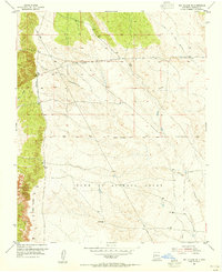
1954 · Sky Village SE
USGS Topo · 1:24,000