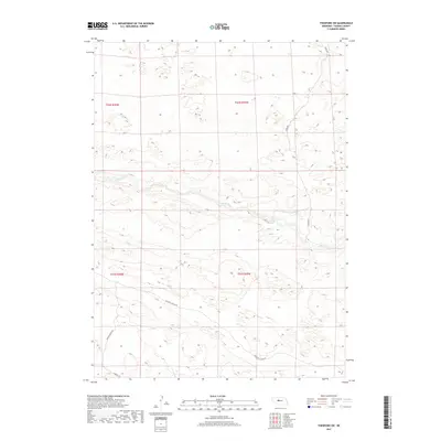
2017 Map of Thedford SW
USGS Topo · Published 2017About this map
The Dismal River carves a winding path through this portion of Thomas County, defining the central landscape of the Sandhills. This 2017 survey illustrates a sparsely populated ranching region where long-established land divisions like t21n r29w and t22n r30w organize the terrain. Human presence is primarily indicated by a network of ranch roads and trails, such as Paxton Ranch Rd and Peaceful Plains Rd, which navigate the complex topography surrounding the river valley. The map documents the persistent rural character of the area, where isolated thoroughfares like Leroy Ln and Connell Ln provide the only access to this interior Nebraska landscape.
Find a feature on this map
10 named features on this map. Tap any name to fly to it.
Don’t see what you’re looking for? This feature index may not catch every label — zoom into the map to look around manually.
Map Details
Editions of this 2017 Thedford SW Map
This is the sole edition of this map. No revisions or reprints were ever made.
Other maps of this area

1948 · Thedford
USGS Topo · 1:62,500

1949 · Cody Lake
USGS Topo · 1:62,500

1950 · Thedford
USGS Topo · 1:62,500

1950 · Shimmins Lake
USGS Topo · 1:62,500

1951 · Tryon
USGS Topo · 1:62,500

1951 · Cody Lake
USGS Topo · 1:62,500

1954 · North Platte
USGS Topo · 1:250,000

1956 · North Platte
USGS Topo · 1:250,000

1957 · North Platte
USGS Topo · 1:250,000

1967 · North Platte
USGS Topo · 1:250,000