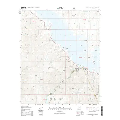
2014 Map of Theodore Roosevelt Dam
USGS Topo · Published 2014About this map
Theodore Roosevelt Dam anchors this study of the central Arizona desert where the Salt River meets the expansive Theodore Roosevelt Lake. The landscape is defined by the sharp boundary between Gila Co and Maricopa Co, cutting through high-relief terrain like Vineyard Mtn and Government Hill. Significant cultural and natural preservation areas are evident, with the Tonto National Monument and Tonto National Forest protecting the archaeological and environmental integrity of the region.
Find a feature on this map
65 named features on this map. Tap any name to fly to it.
Don’t see what you’re looking for? This feature index may not catch every label — zoom into the map to look around manually.
Map Details
Editions of this 2014 Theodore Roosevelt Dam Map
This is the sole edition of this map. No revisions or reprints were ever made.
Other maps of this area
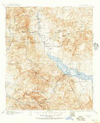
1907 · Roosevelt
USGS Topo · 1:125,000
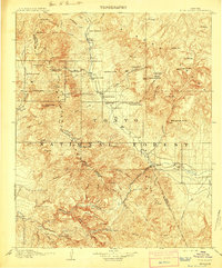
1909 · Four Peaks
USGS Topo · 1:125,000
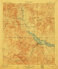
1912 · Roosevelt
USGS Topo · 1:125,000
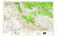
1954 · Mesa
USGS Topo · 1:250,000
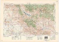
1957 · Mesa
USGS Topo · 1:250,000
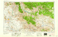
1958 · Mesa
USGS Topo · 1:250,000
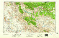
1960 · Mesa
USGS Topo · 1:250,000
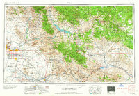
1964 · Mesa
USGS Topo · 1:250,000
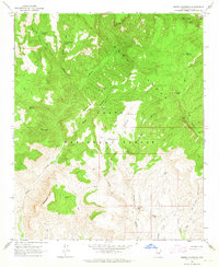
1964 · Armer Mountain
USGS Topo · 1:24,000
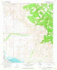
1964 · Greenback Creek
USGS Topo · 1:24,000