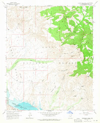
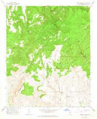
1964 Map of Greenback Creek
USGS Topo · Published 1965About this map
Greenback Valley and the northern reaches of Theodore Roosevelt Lake define this high-desert landscape in the mid-1960s. Located within the Tonto National Forest, the region shows a transition from the water-rich basin of the Salt River to the towering elevations of the Sierra Ancha. The map captures a rugged territory where ranching and mining infrastructure persist despite the challenging terrain. Remote outposts like Bouquet Ranch and Conway Ranch are linked by a network of unimproved roads and trails that traverse Cline Mesa and Methodist Mesa. Small-scale extractive history is visible through scattered operations such as the Bluebird Mine, Saguaro Mine, and Jernigan Mine. The reliance on natural water sources is evident in the numerous named springs, including Yellow Jacket Spring and Hackberry Spring, which provided essential points of contact for early settlers and miners in the Tonto Basin.
Find a feature on this map
50 named features on this map. Tap any name to fly to it.
Don’t see what you’re looking for? This feature index may not catch every label — zoom into the map to look around manually.
Map Details
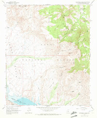
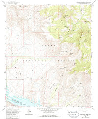
Editions of this 1964 Greenback Creek Map
3 editions found
Other maps of this area

1907 · Roosevelt
USGS Topo · 1:125,000

1909 · Four Peaks
USGS Topo · 1:125,000

1912 · Roosevelt
USGS Topo · 1:125,000

1954 · Mesa
USGS Topo · 1:250,000

1957 · Mesa
USGS Topo · 1:250,000

1958 · Mesa
USGS Topo · 1:250,000

1960 · Mesa
USGS Topo · 1:250,000

1964 · Mesa
USGS Topo · 1:250,000
1964 · Kayler Butte
USGS Topo · 1:24,000
1964 · Armer Mountain
USGS Topo · 1:24,000