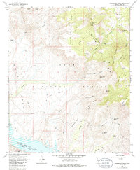
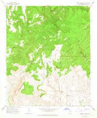
1964 Map of Greenback Creek
USGS Topo · Published 1986About this map
Horse Range Mesa and the high ridges of the Sierra Ancha dominate this 1960s landscape, where cattle ranching and mining define the local economy. In the Tonto Basin, historic property lines and isolated outposts like Conway Ranch and Bouquet Ranch sit near the drainage of Greenback Creek. The southern edge of the survey reaches the waters of Theodore Roosevelt Lake, while several mining operations, including the Bluebird Mine and Saguaro Mine, are mapped along the canyons and gulches. Significant topographic features like Methodist Mtn and Three Sisters Mountain overlook the Tonto National Forest, providing a detailed look at the trail networks and primitive routes like the A-Cross Road that connected these remote Arizona highlands before modern development.
Find a feature on this map
50 named features on this map. Tap any name to fly to it.
Don’t see what you’re looking for? This feature index may not catch every label — zoom into the map to look around manually.
Map Details
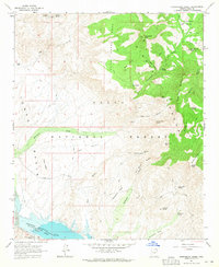
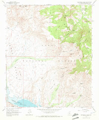
Editions of this 1964 Greenback Creek Map
3 editions found
Other maps of this area

1907 · Roosevelt
USGS Topo · 1:125,000

1909 · Four Peaks
USGS Topo · 1:125,000

1912 · Roosevelt
USGS Topo · 1:125,000

1954 · Mesa
USGS Topo · 1:250,000

1957 · Mesa
USGS Topo · 1:250,000

1958 · Mesa
USGS Topo · 1:250,000

1960 · Mesa
USGS Topo · 1:250,000

1964 · Mesa
USGS Topo · 1:250,000
1964 · Kayler Butte
USGS Topo · 1:24,000
1964 · Armer Mountain
USGS Topo · 1:24,000