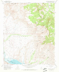
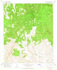
1964 Map of Greenback Creek
USGS Topo · Published 1972About this map
Theodore Roosevelt Lake anchors the southern edge of this mid-1960s survey, showing its September 1962 water level and the vital spillway. The landscape transitions from the aquatic margins of the Salt River and Tonto Creek into the complex drainages of the Tonto National Forest. Ranching and mining history is evident across the terrain, with local operations like Conway Ranch in Greenback Valley and the Bouquet Ranch positioned near numerous springs. Probing the hills reveals several early mining sites, including the Bluebird Mine, Saguaro Mine, and Journigan Mine. The rugged topography is defined by the Horse Range and Cline Mesa, where ancient ruins and a network of jeep trails suggest a long history of human movement through the high desert of Gila County.
Find a feature on this map
49 named features on this map. Tap any name to fly to it.
Don’t see what you’re looking for? This feature index may not catch every label — zoom into the map to look around manually.
Map Details
Editions of this 1964 Greenback Creek Map
3 editions found
Other maps of this area

1907 · Roosevelt
USGS Topo · 1:125,000

1909 · Four Peaks
USGS Topo · 1:125,000

1912 · Roosevelt
USGS Topo · 1:125,000

1954 · Mesa
USGS Topo · 1:250,000

1957 · Mesa
USGS Topo · 1:250,000

1958 · Mesa
USGS Topo · 1:250,000

1960 · Mesa
USGS Topo · 1:250,000

1964 · Mesa
USGS Topo · 1:250,000
1964 · Kayler Butte
USGS Topo · 1:24,000
1964 · Armer Mountain
USGS Topo · 1:24,000