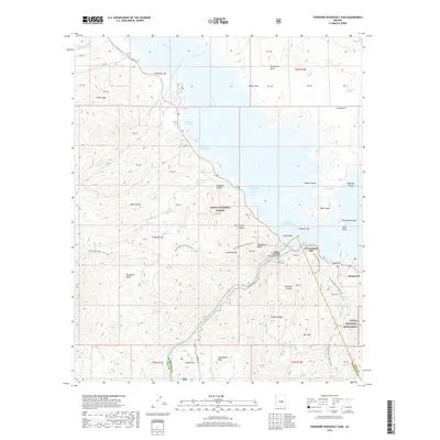
2018 Map of Theodore Roosevelt Dam
USGS Topo · Published 2018About this map
The Theodore Roosevelt Dam stands as the central engineering landmark of this landscape, impounding the waters of the Salt River and Tonto Creek to form the expansive Theodore Roosevelt Lake. This modern survey documents the intricate shoreline and recreational geography of the reservoir, including the Cholla Bay Area and the Bachelor Cove Area. Along the southern banks, the Tonto National Monument protects significant archaeological sites on the slopes above the Apache Trl. The map also traces the high-elevation path of the Arizona National Scenic Trail as it winds through the Tonto National Forest, passing rugged landmarks like Inspiration Point and Government Hill. Small settlements and seasonal locations like Roosevelt and Hotel Point serve as focal points for local activity near the water's edge, while various springs such as Tuakay Hot Springs and Buckhorn Spring dot the surrounding mountainous terrain.
Find a feature on this map
77 named features on this map. Tap any name to fly to it.
Don’t see what you’re looking for? This feature index may not catch every label — zoom into the map to look around manually.
Map Details
Editions of this 2018 Theodore Roosevelt Dam Map
This is the sole edition of this map. No revisions or reprints were ever made.
Other maps of this area
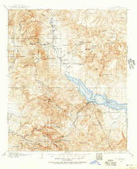
1907 · Roosevelt
USGS Topo · 1:125,000
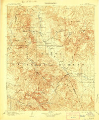
1909 · Four Peaks
USGS Topo · 1:125,000
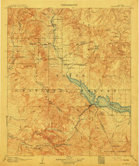
1912 · Roosevelt
USGS Topo · 1:125,000
1954 · Mesa
USGS Topo · 1:250,000
1957 · Mesa
USGS Topo · 1:250,000
1958 · Mesa
USGS Topo · 1:250,000
1960 · Mesa
USGS Topo · 1:250,000
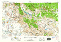
1964 · Mesa
USGS Topo · 1:250,000
1964 · Armer Mountain
USGS Topo · 1:24,000
1964 · Greenback Creek
USGS Topo · 1:24,000