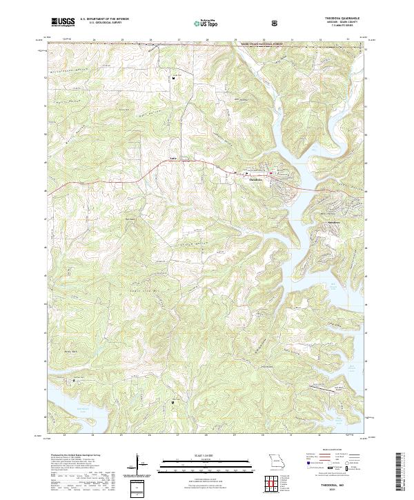
2021 Map of Theodosia
USGS Topo · Published 2021About this map
Theodosia and the neighboring settlement of Lutie anchor this Ozark County landscape where the Little North Fork White River feeds into the sprawling arms of Bull Shoals Lake. The terrain is defined by a dense network of hollows and high points, including Peacock Bald, McVey Bald, and the uniquely named Chain Link Mountain. While modern development is visible in the residential streets of Sundown, the map preserves deep-rooted local history through its numerous burial grounds, such as Lutie Cem, Hicks Cem, and Hart Cem.
Find a feature on this map
114 named features on this map. Tap any name to fly to it.
Don’t see what you’re looking for? This feature index may not catch every label — zoom into the map to look around manually.
Map Details
Editions of this 2021 Theodosia Map
This is the sole edition of this map. No revisions or reprints were ever made.
Other maps of this area

1893 · Yellville
USGS Topo · 1:125,000

1903 · Yellville
USGS Topo · 1:125,000

1905 · Yellville
USGS Topo · 1:125,000

1929 · Yellville
USGS Topo · 1:125,000

1936 · Thornfield
USGS Topo · 1:48,000

1943 · Protem
USGS Topo · 1:62,500

1943 · Thornfield
USGS Topo · 1:62,500

1945 · Harrison
USGS Topo · 1:250,000

1945 · Thornfield
USGS Topo · 1:62,500

1949 · Harrison
USGS Topo · 1:250,000