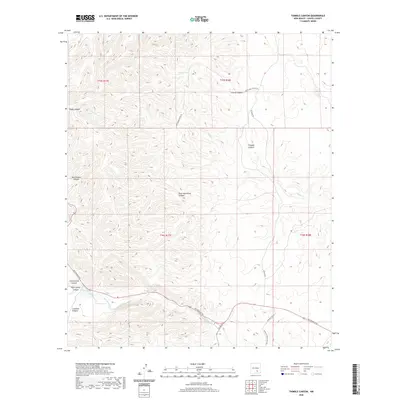
2020 Map of Thimble Canyon
USGS Topo · Published 2020About this map
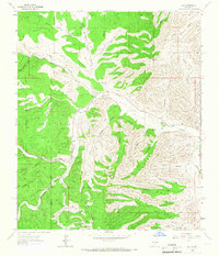
Rio Peñasco winds through the southern extent of this Chaves County landscape, providing a critical water source in a terrain defined by deep drainages and canyons. The presence of Watts Tank and Rock Waterhole Canyon highlights the importance of seasonal water management for the livestock operations that dominate this area. Ranching heritage is evidenced by the Jennings Ranch and the networks of local roads such as Penasco River Ranch Rd and Old School House Rd. The topography is marked by named features like Thimble Canyon and Eagle Canyon, which feed into the primary river valley. This contemporary survey preserves the names of geographic landmarks that have long served as navigation points for local inhabitants and ranchers in the New Mexico high country.
Find a feature on this map
21 named features on this map. Tap any name to fly to it.
Don’t see what you’re looking for? This feature index may not catch every label — zoom into the map to look around manually.
Map Details
Editions of this 2020 Thimble Canyon Map
This is the sole edition of this map. No revisions or reprints were ever made.
Other maps of this area

1954 · Carlsbad
USGS Topo · 1:250,000
1955 · Roswell
USGS Topo · 1:250,000

1958 · Carlsbad
USGS Topo · 1:250,000
1958 · Roswell
USGS Topo · 1:250,000
1961 · Flying H
USGS Topo · 1:62,500
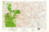
1962 · Roswell
USGS Topo · 1:250,000
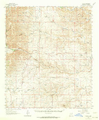
1962 · Dunken
USGS Topo · 1:62,500
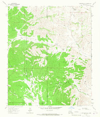
1963 · Clements Ranch
USGS Topo · 1:24,000
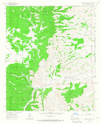
1963 · Robertson Canyon
USGS Topo · 1:24,000
1963 · Elk
USGS Topo · 1:24,000