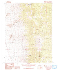
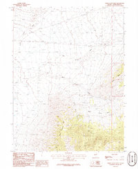
1986 Map of Third Butte East
USGS Topo · Published 1993About this map
White Cloud Mountain dominates the high-altitude landscape of this eastern White Pine County region during the mid-1980s. The area is defined by a succession of prominent peaks, including Third Butte, Second Butte, and First Butte, which descend toward the southwest. This mountainous terrain is deeply incised by drainages such as Eightmile Canyon and Cottonwood Canyon, where vital water sources like Promaine Springs and Marble Spring supported seasonal movement and land use. Traces of historical exploration are evident in the scatter of resource extraction markers, specifically a Mine Shaft and various Prospect locations near Coyote Canyon. The presence of Graves near the southwestern corner and a Natural Arch in the south provides specific points of interest for those tracking local history or geologic landmarks. The map illustrates a high-desert environment where intermittent water and resource scouting dictated the human footprint.
Find a feature on this map
23 named features on this map. Tap any name to fly to it.
Don’t see what you’re looking for? This feature index may not catch every label — zoom into the map to look around manually.
Map Details
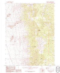
Editions of this 1986 Third Butte East Map
2 editions found
Other maps of this area

1956 · Ely
USGS Topo · 1:250,000

1959 · Ely
USGS Topo · 1:250,000

1963 · Ely
USGS Topo · 1:250,000
1986 · Mount Moriah
USGS Topo · 1:24,000
1986 · Third Butte West
USGS Topo · 1:24,000
1986 · Yelland Dry Lake
USGS Topo · 1:24,000
1986 · Big Hard Pan
USGS Topo · 1:24,000
1986 · Sixmile Canyon
USGS Topo · 1:24,000
1986 · Mormon Jack Pass
USGS Topo · 1:24,000
1986 · White Cloud Point
USGS Topo · 1:24,000