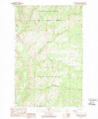
1989 Map of Thirteenmile Creek
USGS Topo · Published 1989About this map
The Colville Indian Reservation and Colville National Forest meet in this 1980s topographic study, defined by the winding course of the Sanpoil River. The terrain is characterized by a series of significant drainage systems that feed into the river valley, including Thirteenmile Creek, Seventeenmile Creek, and Nineteenmile Creek. This provisional map captures the region's managed landscape, where federal forest lands and reservation boundaries overlap. Evidence of industrial activity and infrastructure is found at the Gravel Pit and the Gaging Sta BM 1952 along the western riverbank. The drainage names, from Rattlesnake Gulch to Twentythree Mile Creek, follow a sequential numbering pattern typical of early transit and exploration routes through this part of Ferry County.
Find a feature on this map
18 named features on this map. Tap any name to fly to it.
Don’t see what you’re looking for? This feature index may not catch every label — zoom into the map to look around manually.
Map Details
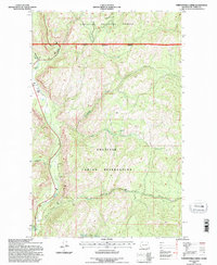
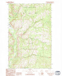
Editions of this 1989 Thirteenmile Creek Map
3 editions found
Other maps of this area

1904 · Republic
USGS Topo · 1:125,000

1948 · Republic
USGS Topo · 1:62,500

1951 · Wauconda
USGS Topo · 1:62,500

1951 · Republic
USGS Topo · 1:62,500

1953 · Seventeenmile Mtn.
USGS Topo · 1:62,500

1953 · Bald Knob
USGS Topo · 1:62,500

1954 · Okanogan
USGS Topo · 1:250,000

1958 · Okanogan
USGS Topo · 1:250,000

1958 · Aeneas
USGS Topo · 1:62,500

1984 · Republic
USGS Topo · 1:100,000