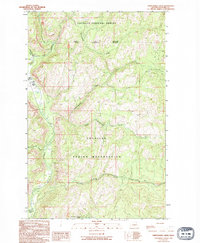
1989 Map of Thirteenmile Creek
USGS Topo · Published 1994About this map
The Colville Indian Reservation and Colville National Forest meet in this rugged corner of Ferry County, defined by a series of numbered drainages feeding the Sanpoil River. The landscape follows a strictly ordered pattern of northern tributaries, including Thirteenmile Creek, Seventeenmile Creek, and Twentyone Mile Creek, illustrating how geographic naming conventions often followed distance-based intervals from a central point or trail. Human activity is sparse but specialized, evidenced by a Gravel Pit and a Gaging Sta BM 1952 along the western riverbank. The terrain is marked by steep elevation changes, such as those found at Rattlesnake Gulch, where the West Fork of the Sanpoil joins the main channel. This provisional survey captures the transition between forest management and tribal lands in the late twentieth century, showing a territory largely shaped by its hydrology.
Find a feature on this map
19 named features on this map. Tap any name to fly to it.
Don’t see what you’re looking for? This feature index may not catch every label — zoom into the map to look around manually.
Map Details
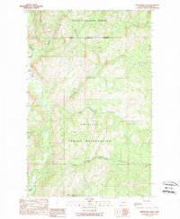
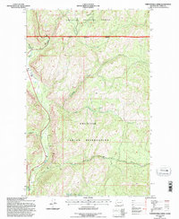
Editions of this 1989 Thirteenmile Creek Map
3 editions found
Other maps of this area

1904 · Republic
USGS Topo · 1:125,000

1948 · Republic
USGS Topo · 1:62,500

1951 · Wauconda
USGS Topo · 1:62,500

1951 · Republic
USGS Topo · 1:62,500

1953 · Seventeenmile Mtn.
USGS Topo · 1:62,500

1953 · Bald Knob
USGS Topo · 1:62,500

1954 · Okanogan
USGS Topo · 1:250,000

1958 · Okanogan
USGS Topo · 1:250,000

1958 · Aeneas
USGS Topo · 1:62,500

1984 · Republic
USGS Topo · 1:100,000