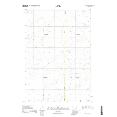
2017 Map of Thomas Lake SW
USGS Topo · Published 2017About this map
Stone Lake anchors the northwestern corner of this prairie landscape, where the flat upland terrain begins to drain toward the Missouri River basin. This rural area in Sully County and Hyde County is defined by a strictly surveyed section-line road grid, including 175th St and 321st Ave, which separate vast agricultural tracts. The southern portion of the sheet is marked by the winding path of Medicine Knoll Cr, a seasonal drainage that provides the primary topographical variation in an otherwise uniform high-plains environment. This 2017 survey reflects the persistent character of South Dakota's farm country, showing a landscape where small intermittent wetlands dot the basins between section roads like 181st St and Cougar Pl.
Find a feature on this map
19 named features on this map. Tap any name to fly to it.
Don’t see what you’re looking for? This feature index may not catch every label — zoom into the map to look around manually.
Map Details
Editions of this 2017 Thomas Lake SW Map
This is the sole edition of this map. No revisions or reprints were ever made.
Other maps of this area
1953 · Huron
USGS Topo · 1:250,000
1954 · Huron
USGS Topo · 1:250,000
1967 · Blunt NE
USGS Topo · 1:24,000
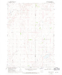
1968 · Harrold NW
USGS Topo · 1:24,000
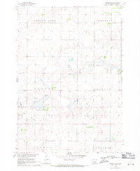
1968 · Harrold NE
USGS Topo · 1:24,000
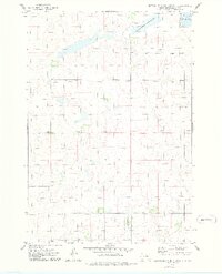
1974 · Gettysburg Municipal Airport SE
USGS Topo · 1:24,000
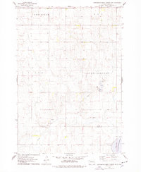
1974 · Gettysburg Muni. Airport NE
USGS Topo · 1:24,000
1978 · Bald Hills
USGS Topo · 1:24,000
1978 · Thomas Lake
USGS Topo · 1:24,000
1978 · Thomas Lake SW
USGS Topo · 1:24,000