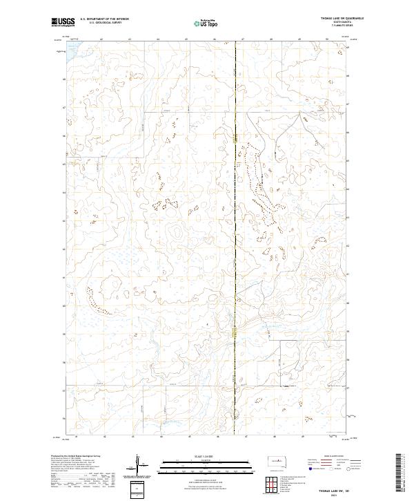
2021 Map of Thomas Lake SW
USGS Topo · Published 2021About this map
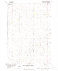
Medicine Knoll Creek meanders through the grasslands along the border of Sully County and Hyde County, defining much of the drainage in this rural interior of South Dakota. The landscape is characterized by its glacial depressions and numerous small wetlands, with Stone Lake appearing as a prominent body of water in the northwest corner. This area is etched by a precise grid of sectional roads, including 324th Avenue and 181st Street, which facilitate access to remote agricultural holdings and ranchlands. The map reveals the systematic organization of the Public Land Survey System across Townships 115 and 116 North, where isolated locations like Cougar Place punctuate an otherwise open prairie environment. Small county routes such as County Road 649 serve as vital connectors for the local ranching community, tracing the subtle elevations of the Dakota plains.
Find a feature on this map
19 named features on this map. Tap any name to fly to it.
Don’t see what you’re looking for? This feature index may not catch every label — zoom into the map to look around manually.
Map Details
Editions of this 2021 Thomas Lake SW Map
This is the sole edition of this map. No revisions or reprints were ever made.
Other maps of this area

1953 · Huron
USGS Topo · 1:250,000

1954 · Huron
USGS Topo · 1:250,000

1967 · Blunt NE
USGS Topo · 1:24,000

1968 · Harrold NW
USGS Topo · 1:24,000

1968 · Harrold NE
USGS Topo · 1:24,000

1974 · Gettysburg Municipal Airport SE
USGS Topo · 1:24,000
1974 · Gettysburg Muni. Airport NE
USGS Topo · 1:24,000
1978 · Bald Hills
USGS Topo · 1:24,000
1978 · Thomas Lake
USGS Topo · 1:24,000
1978 · Thomas Lake SW
USGS Topo · 1:24,000