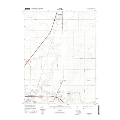
2015 Map of Thomasboro
USGS Topo · Published 2015About this map
Thomasboro and the northern outskirts of Champaign and Urbana occupy this central Illinois landscape, defined by a grid of county roads and the infrastructure of the Grand Prairie. The map captures the transition from the dense urban street plans of neighborhoods like Wilbur Heights and Augerville to the expansive agricultural tracts surrounding Leverett. Several prominent burial sites are documented across the quadrangle, including Saint Elizabeth Cem in the north and Lincoln Cem and Woodlawn Cem to the south, providing valuable touchstones for genealogical research. Aviation history is represented by Frasca Field, situated just north of the city limits. The Saline Br Drainage Ditch carves through the southeast, illustrating the managed water systems essential to maintaining the productivity of this fertile region during the early 21st century.
Find a feature on this map
52 named features on this map. Tap any name to fly to it.
Don’t see what you’re looking for? This feature index may not catch every label — zoom into the map to look around manually.
Map Details
Editions of this 2015 Thomasboro Map
This is the sole edition of this map. No revisions or reprints were ever made.
Other maps of this area

1906 · Urbana
USGS Topo · 1:62,500

1907 · Mahomet
USGS Topo · 1:62,500

1924 · Paxton
USGS Topo · 1:62,500

1927 · Paxton
USGS Topo · 1:62,500

1928 · Gibson City
USGS Topo · 1:62,500

1949 · Paxton
USGS Topo · 1:62,500

1957 · Urbana
USGS Topo · 1:62,500

1957 · Paxton
USGS Topo · 1:62,500

1957 · Gibson City
USGS Topo · 1:62,500

1957 · Urbana
USGS Topo · 1:24,000