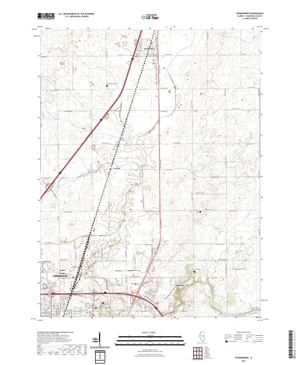
2024 Map of Thomasboro
USGS Topo · Published 2024About this map
Thomasboro sits at the northern end of a landscape defined by its grid-patterned agricultural roads and the gradual expansion of northern Champaign. This survey captures the transition from the organized farmland around Leverett and Augerville to the more developed industrial and residential fringes near Wilbur Heights. The map provides significant detail for genealogists, marking several family and community resting places including Saint Elizabeth Cem, Yearsley Cem, and Clements Cem. To the south, the terrain descends toward the Saline Branch Drainage Ditch, while Frasca Field serves as a notable aviation landmark within the rural-urban interface. The layout of county roads, such as Co RD 2400 N and Co RD 1500 E, illustrates the enduring structure of the Illinois prairie's settlement patterns into the twenty-first century.
Find a feature on this map
82 named features on this map. Tap any name to fly to it.
Don’t see what you’re looking for? This feature index may not catch every label — zoom into the map to look around manually.
Map Details
Editions of this 2024 Thomasboro Map
This is the sole edition of this map. No revisions or reprints were ever made.
Other maps of this area

1906 · Urbana
USGS Topo · 1:62,500

1907 · Mahomet
USGS Topo · 1:62,500

1924 · Paxton
USGS Topo · 1:62,500

1927 · Paxton
USGS Topo · 1:62,500

1928 · Gibson City
USGS Topo · 1:62,500

1949 · Paxton
USGS Topo · 1:62,500

1957 · Urbana
USGS Topo · 1:62,500

1957 · Paxton
USGS Topo · 1:62,500

1957 · Gibson City
USGS Topo · 1:62,500

1957 · Urbana
USGS Topo · 1:24,000