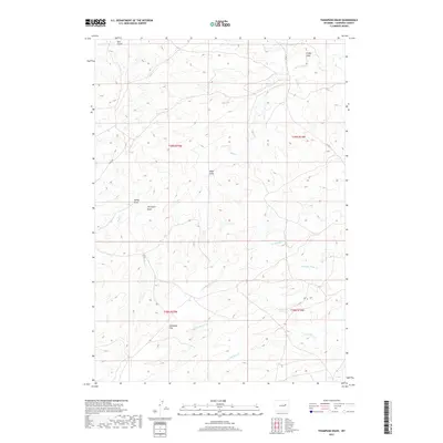
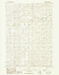
2017 Map of Thompson Draw
USGS Topo · Published 2017About this map
Allemand Flat sits as a notable level expanse within this section of Converse County, highlighting the characteristic topography of the Wyoming plains. The landscape is defined by a network of seasonal drainages, most notably Thompson Draw, Night Draw, and Friday Draw, which carve through the high desert terrain. These features, along with Bull Gulch and Spring Draw, illustrate the vital role of water movement in shaping the local geography. Waterways like Stinking Water Cr and the N Fork Bear Cr cross the area, while transportation is limited to established routes such as Ross Rd and Co Rd 31. The mapping of these specific draws and flats provides essential detail for understanding land use and navigation in this open western environment.
Find a feature on this map
16 named features on this map. Tap any name to fly to it.
Don’t see what you’re looking for? This feature index may not catch every label — zoom into the map to look around manually.
Map Details
Editions of this 2017 Thompson Draw Map
This is the sole edition of this map. No revisions or reprints were ever made.
Other maps of this area

1955 · Newcastle
USGS Topo · 1:250,000

1958 · Newcastle
USGS Topo · 1:250,000
1959 · Fifty-Five Ranch
USGS Topo · 1:62,500
1959 · Coal Draw
USGS Topo · 1:62,500
1959 · Highland Flats
USGS Topo · 1:62,500
1960 · Ross
USGS Topo · 1:62,500
1979 · Bill
USGS Topo · 1:100,000
1984 · Marsh Draw
USGS Topo · 1:24,000
1984 · Thompson Draw
USGS Topo · 1:24,000
1984 · Suicide Hill
USGS Topo · 1:24,000