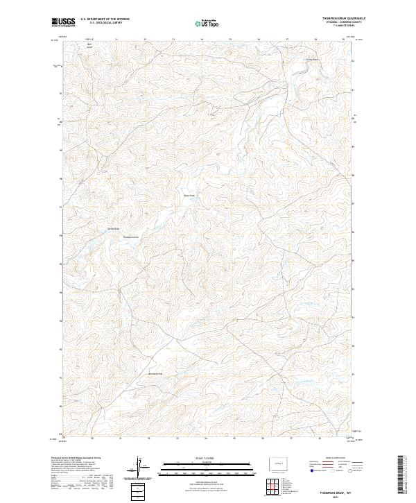
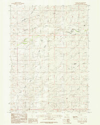
2021 Map of Thompson Draw
USGS Topo · Published 2021About this map
Allemand Flat sits at the heart of this dryland landscape in Converse County, where the topography is defined by an intricate network of seasonal drainage patterns. This 2021 survey reveals a territory shaped by water movement across the high plains, with the Stinking Water Cr and its northern branch, N Stinking Water Cr, cutting through the southern sections. To the south, the headwaters of the N Fork Bear Cr begin their descent, while the northern reaches are marked by distinct topographic depressions like Friday Draw and Bull Gulch.
Find a feature on this map
16 named features on this map. Tap any name to fly to it.
Don’t see what you’re looking for? This feature index may not catch every label — zoom into the map to look around manually.
Map Details
Editions of this 2021 Thompson Draw Map
This is the sole edition of this map. No revisions or reprints were ever made.
Other maps of this area

1955 · Newcastle
USGS Topo · 1:250,000

1958 · Newcastle
USGS Topo · 1:250,000

1959 · Fifty-Five Ranch
USGS Topo · 1:62,500

1959 · Coal Draw
USGS Topo · 1:62,500
1959 · Highland Flats
USGS Topo · 1:62,500

1960 · Ross
USGS Topo · 1:62,500

1979 · Bill
USGS Topo · 1:100,000
1984 · Marsh Draw
USGS Topo · 1:24,000
1984 · Thompson Draw
USGS Topo · 1:24,000
1984 · Suicide Hill
USGS Topo · 1:24,000