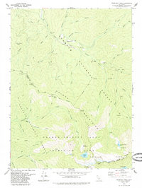
1979 Map of Thompson Peak
USGS Topo · Published 1985About this map
Summerville and the South Fork Salmon River valley anchor this high-elevation terrain where the Klamath National Forest meets the Trinity National Forest. The landscape is defined by the steep drainage systems of the Salmon-Trinity Alps Primitive Area, where pack trails provide the primary access to remote features like Schoolhouse Flat and Bobs Farm.
Find a feature on this map
56 named features on this map. Tap any name to fly to it.
Don’t see what you’re looking for? This feature index may not catch every label — zoom into the map to look around manually.
Map Details
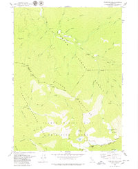
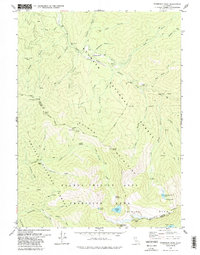
Editions of this 1979 Thompson Peak Map
3 editions found
Other maps of this area

1886 · Shasta
USGS Topo · 1:250,000

1890 · Red Bluff
USGS Topo · 1:250,000

1894 · Red Bluff
USGS Topo · 1:250,000

1894 · Shasta
USGS Topo · 1:250,000

1909 · Big Bar
USGS Topo · 1:96,000

1913 · Weaverville
USGS Topo · 1:125,000

1915 · Big Bar and Vicinity
USGS Topo · 1:250,000

1923 · Sawyers Bar
USGS Topo · 1:125,000

1931 · Etna
USGS Topo · 1:96,000

1934 · Etna
USGS Topo · 1:125,000