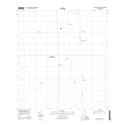
2015 Map of Thompson Pine Island
USGS Topo · Published 2015About this map
Big Cypress National Preserve dominates this southern Florida landscape, documenting a preserved wilderness defined by cypress strands and prairies as it appeared in 2015. The map highlights the primitive infrastructure supporting this environment, notably the Florida National Scenic Trail winding through the eastern sections. Localized landmarks such as Thompson Pine Island and the uniquely named Turkey Foot and Wagon Wheel provide geographic orientation within the marshy terrain. Small aviation outposts, including Calusa Ranch Airport and Little Deer Airport, indicate the necessity of air travel for navigating or managing this expansive preserve. Historical footprints are suggested by Sugar Mill Mound, while hydrological features like Mullet Slough and Mud Lake illustrate the water-dependent ecology of Collier County. The grid-based township and range system provides a formal structure over this otherwise undeveloped expanse of the Everglades ecosystem.
Find a feature on this map
14 named features on this map. Tap any name to fly to it.
Don’t see what you’re looking for? This feature index may not catch every label — zoom into the map to look around manually.
Map Details
Editions of this 2015 Thompson Pine Island Map
This is the sole edition of this map. No revisions or reprints were ever made.
Other maps of this area
1956 · Miami
USGS Topo · 1:250,000

1956 · West Palm Beach
USGS Topo · 1:250,000

1957 · West Palm Beach
USGS Topo · 1:250,000

1958 · West Palm Beach
USGS Topo · 1:250,000
1958 · Miami
USGS Topo · 1:250,000
1972 · Monroe Station NE
USGS Topo · 1:24,000
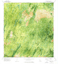
1972 · Burns Lake
USGS Topo · 1:24,000
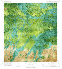
1973 · North Of Fiftymile Bend
USGS Topo · 1:24,000
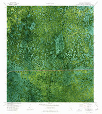
1974 · Immokalee 4 NW
USGS Topo · 1:24,000
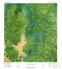
1974 · Immokalee 4 SW
USGS Topo · 1:24,000