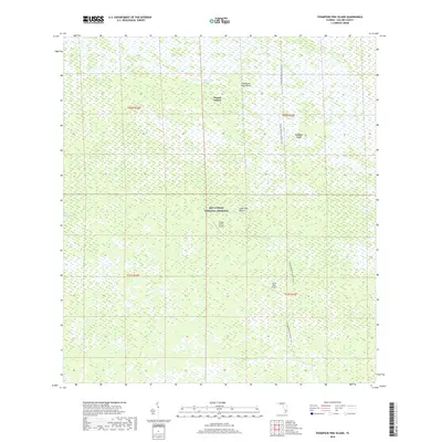
2018 Map of Thompson Pine Island
USGS Topo · Published 2018About this map
Big Cypress National Preserve defines this landscape in southwestern Florida, where the wetland environments of the Everglades meet human land-use patterns of the early twenty-first century. The map illustrates a delicate balance between preserved wilderness and isolated infrastructure, featuring remote landing strips like Calusa Ranch Airport and Little Deer Airport that serve this interior region. The northern portion of the map is dominated by traditional topographical features such as Mullet Slough and Bamboo Strand, while the settlement of Wagon Wheel sits near the intersection of several natural drainage patterns.
Find a feature on this map
16 named features on this map. Tap any name to fly to it.
Don’t see what you’re looking for? This feature index may not catch every label — zoom into the map to look around manually.
Map Details
Editions of this 2018 Thompson Pine Island Map
This is the sole edition of this map. No revisions or reprints were ever made.
Other maps of this area
1956 · Miami
USGS Topo · 1:250,000

1956 · West Palm Beach
USGS Topo · 1:250,000

1957 · West Palm Beach
USGS Topo · 1:250,000

1958 · West Palm Beach
USGS Topo · 1:250,000
1958 · Miami
USGS Topo · 1:250,000
1972 · Monroe Station NE
USGS Topo · 1:24,000
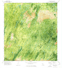
1972 · Burns Lake
USGS Topo · 1:24,000
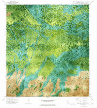
1973 · North Of Fiftymile Bend
USGS Topo · 1:24,000
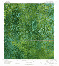
1974 · Immokalee 4 NW
USGS Topo · 1:24,000
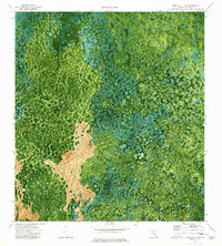
1974 · Immokalee 4 SW
USGS Topo · 1:24,000