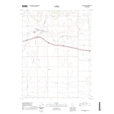
2023 Map of Thompson Springs
USGS Topo · Published 2023About this map
Thompson Springs serves as the central hub of this desert landscape, situated at the base of the dramatic Book Cliffs in Grand County. The town layout is defined by its transit history, with streets like Nutter Ave and Bell St clustered near the modern rail line and remnants of an Old Railroad Rd. A short distance from the settlement lies the Thompson Springs Cem, a critical site for genealogical research in this isolated corridor.
Find a feature on this map
21 named features on this map. Tap any name to fly to it.
Don’t see what you’re looking for? This feature index may not catch every label — zoom into the map to look around manually.
Map Details
Editions of this 2023 Thompson Springs Map
This is the sole edition of this map. No revisions or reprints were ever made.
Other maps of this area

1885 · East Tavaputs
USGS Topo · 1:250,000

1885 · La Sal
USGS Topo · 1:250,000

1956 · Moab
USGS Topo · 1:250,000

1956 · Grand Junction
USGS Topo · 1:250,000

1958 · Crescent Junction
USGS Topo · 1:62,500

1958 · Thompson
USGS Topo · 1:62,500

1959 · Grand Junction
USGS Topo · 1:250,000

1959 · Moab
USGS Topo · 1:250,000

1960 · Moab
USGS Topo · 1:250,000

1960 · Grand Junction
USGS Topo · 1:250,000