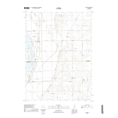
2018 Map of Thomson
USGS Topo · Published 2018About this map
Thomson sits as the central hub of this Illinois landscape, which straddles the border between Carroll and Whiteside Counties. The terrain transitions from the low-lying wetlands of Potter Slough and Old Goose Lake along the Mississippi River corridor to the undulating hills further east. Local history and genealogy are well-documented here through a high concentration of rural burial grounds, including Lower York Cem, Hollinshead Cem, and the neighboring Spring Valley Methodist Cem and Spring Valley Presbyterian Cem. The community of Ebner anchors the southern portion of the map, while the Great River Bike Trail and Duck Foot Trail weave through the riverbottom lands, illustrating the modern recreational use of the alluvial plains. A network of rural roads like Argo Fay Rte and Scenic Bluff Rd connects the disparate farmsteads and creek valleys of Johnson Creek and Otter Cr.
Find a feature on this map
60 named features on this map. Tap any name to fly to it.
Don’t see what you’re looking for? This feature index may not catch every label — zoom into the map to look around manually.
Map Details
Editions of this 2018 Thomson Map
This is the sole edition of this map. No revisions or reprints were ever made.
Other maps of this area

1891 · Clinton
USGS Topo · 1:62,500

1892 · Savanna
USGS Topo · 1:62,500

1894 · Clinton
USGS Topo · 1:62,500

1899 · Clinton
USGS Topo · 1:125,000

1934 · Morrison
USGS Topo · 1:48,000

1940 · Morrison
USGS Topo · 1:62,500

1942 · Mt Carroll
USGS Topo · 1:62,500

1944 · Mt Carroll
USGS Topo · 1:62,500

1952 · Clinton
USGS Topo · 1:62,500

1952 · Savanna
USGS Topo · 1:62,500