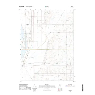
2021 Map of Thomson
USGS Topo · Published 2021About this map
Thomson and the surrounding river bottomlands define this portion of the Upper Mississippi River valley at the boundary of Carroll and Whiteside counties. The village sits east of Potter Slough and Old Goose Lake, where the Great River Bike Trl follows the old rail corridor near Ebner. The topography transitions from the wet lowlands of the river plain to the rising bluffs and agricultural uplands to the east, drained by the meandering Johnson Creek and Otter Cr.
Find a feature on this map
56 named features on this map. Tap any name to fly to it.
Don’t see what you’re looking for? This feature index may not catch every label — zoom into the map to look around manually.
Map Details
Editions of this 2021 Thomson Map
This is the sole edition of this map. No revisions or reprints were ever made.
Other maps of this area

1891 · Clinton
USGS Topo · 1:62,500

1892 · Savanna
USGS Topo · 1:62,500

1894 · Clinton
USGS Topo · 1:62,500

1899 · Clinton
USGS Topo · 1:125,000

1934 · Morrison
USGS Topo · 1:48,000

1940 · Morrison
USGS Topo · 1:62,500

1942 · Mt Carroll
USGS Topo · 1:62,500

1944 · Mt Carroll
USGS Topo · 1:62,500

1952 · Clinton
USGS Topo · 1:62,500

1952 · Savanna
USGS Topo · 1:62,500