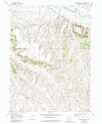
1969 Map of Thornburgh Gulch
USGS Topo · Published 1985About this map
The Little Snake River meanders across the northern reaches of this Colorado landscape, defining a corridor of agricultural activity in an otherwise arid drainage basin. Water management is central to the area's development, evidenced by the irrigation network of the Woodbury Ditch and Trowel Ditch following the river's path. Further south, the terrain is deeply etched by a series of north-draining canyons, including Woodbury Gulch, Tommys Gulch, and Thornburgh Gulch.
Find a feature on this map
14 named features on this map. Tap any name to fly to it.
Don’t see what you’re looking for? This feature index may not catch every label — zoom into the map to look around manually.
Map Details
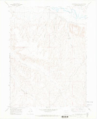
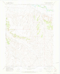
Editions of this 1969 Thornburgh Gulch Map
3 editions found
Other maps of this area

1916 · Craig
USGS Topo · 1:125,000

1954 · Rawlins
USGS Topo · 1:250,000

1954 · Craig
USGS Topo · 1:250,000

1957 · Craig
USGS Topo · 1:250,000

1957 · Baggs
USGS Topo · 1:62,500

1958 · Rawlins
USGS Topo · 1:250,000

1958 · Craig
USGS Topo · 1:250,000

1960 · Craig
USGS Topo · 1:250,000

1962 · Rawlins
USGS Topo · 1:250,000

1962 · Craig
USGS Topo · 1:250,000