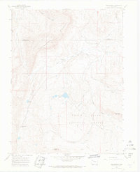
1966 Map of Thornburgh
USGS Topo · Published 1969About this map
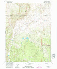
Thornburgh (Historical Site) marks the location of the 1879 Battle of Milk Creek, a pivotal encounter between the U.S. Army and the Ute people. This 1960s survey documents the rugged canyon and plateau country of the Moffat and Rio Blanco county line, where industrial and agricultural interests overlap. The extraction economy of the mid-20th century is evident through the Thornburgh Gas Field and prospecting sites near Uranium Peak, while high-altitude ranching is supported by a network of water management features like the Wilson Ditch and Ferguson Ditch. Rugged access is provided by a series of jeep trails and a pack trail winding through the White River National Forest. The landscape is dominated by Thornburgh Mountain and Aldrich Lakes, illustrating a terrain defined by both historical conflict and the post-war pursuit of mineral wealth.
Find a feature on this map
26 named features on this map. Tap any name to fly to it.
Don’t see what you’re looking for? This feature index may not catch every label — zoom into the map to look around manually.
Map Details
Editions of this 1966 Thornburgh Map
6 editions found
Other maps of this area

1910 · Danforth Hills
USGS Topo · 1:125,000

1912 · Meeker
USGS Topo · 1:62,500

1912 · Axial
USGS Topo · 1:62,500

1914 · Meeker
USGS Topo · 1:62,500

1914 · Axial
USGS Topo · 1:62,500

1915 · Monument Butte
USGS Topo · 1:62,500

1954 · Craig
USGS Topo · 1:250,000

1957 · Craig
USGS Topo · 1:250,000

1958 · Craig
USGS Topo · 1:250,000

1960 · Craig
USGS Topo · 1:250,000