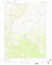
1966 Map of Thornburgh
USGS Topo · Published 1970About this map
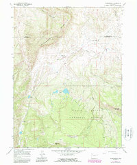
Thornburgh (Historical Site) marks a point of significant local heritage within this 1960s survey of the high country straddling the Rio Blanco and Moffat county line. The landscape is defined by the intersection of resource extraction and mountain wilderness, featuring the Thornburgh Gas Field to the northeast and the northern reaches of the White River National Forest to the south. The terrain rises sharply toward Thornburgh Mountain and Uranium Peak, while hydrological engineering is evident through the Wilson Ditch and Ferguson Ditch No 2. This era of land use is further documented by the presence of numerous prospects and drill holes, highlighting the mineral and gas exploration that shaped the local economy. Water features like Aldrich Lakes and Wyman Reservoir suggest a reliance on managed water sources in this high-elevation environment.
Find a feature on this map
28 named features on this map. Tap any name to fly to it.
Don’t see what you’re looking for? This feature index may not catch every label — zoom into the map to look around manually.
Map Details
Editions of this 1966 Thornburgh Map
6 editions found
Other maps of this area

1910 · Danforth Hills
USGS Topo · 1:125,000

1912 · Meeker
USGS Topo · 1:62,500

1912 · Axial
USGS Topo · 1:62,500

1914 · Meeker
USGS Topo · 1:62,500

1914 · Axial
USGS Topo · 1:62,500

1915 · Monument Butte
USGS Topo · 1:62,500

1954 · Craig
USGS Topo · 1:250,000

1957 · Craig
USGS Topo · 1:250,000

1958 · Craig
USGS Topo · 1:250,000

1960 · Craig
USGS Topo · 1:250,000