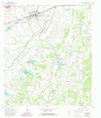
1964 Map of Thorndale
USGS Topo · Published 1989About this map
Thorndale serves as the primary hub of this landscape, situated at the junction of the Missouri Pacific railroad and regional roads near the border of Milam Co and Williamson Co. The town center is defined by its grid, a water tank, and the nearby Thorndale Cem, illustrating the structured growth of a central Texas rail town. The surrounding terrain is heavily defined by the winding paths of Brushy Creek, Salty Creek, and numerous drainage branches that cut through the agricultural countryside.
Find a feature on this map
21 named features on this map. Tap any name to fly to it.
Don’t see what you’re looking for? This feature index may not catch every label — zoom into the map to look around manually.
Map Details
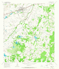
Editions of this 1964 Thorndale Map
2 editions found
Other maps of this area

1885 · Taylor
USGS Topo · 1:125,000

1885 · Bastrop
USGS Topo · 1:125,000

1887 · Taylor
USGS Topo · 1:125,000

1893 · Bastrop
USGS Topo · 1:125,000

1894 · Taylor
USGS Topo · 1:125,000

1904 · Bastrop
USGS Topo · 1:125,000

1948 · Elgin
USGS Topo · 1:62,500

1948 · Lexington
USGS Topo · 1:62,500

1950 · Lexington
USGS Topo · 1:62,500

1950 · Elgin
USGS Topo · 1:62,500