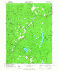
1965 Map of Thornhurst
USGS Topo · Published 1967About this map
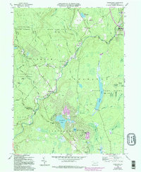
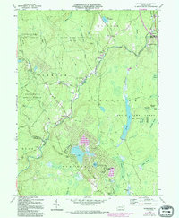
Thornhurst and Clifton sit at the center of this 1960s survey, marking a landscape defined by the winding course of the Lehigh River. The area is characterized by a high concentration of wetlands and named swales, such as City of Rome Swamp and the uniquely titled City of Rome Dark Swamp. These damp lowlands are interspersed with elevated features like Locust Ridge, where the developing residential area of Locust Lakes Village appears alongside the older Locust Ridge Cem.
Find a feature on this map
62 named features on this map. Tap any name to fly to it.
Don’t see what you’re looking for? This feature index may not catch every label — zoom into the map to look around manually.
Map Details
Editions of this 1965 Thornhurst Map
6 editions found
Other maps of this area

1889 · Scranton
USGS Topo · 1:62,500

1891 · Scranton
USGS Topo · 1:62,500

1893 · Scranton
USGS Topo · 1:62,500

1919 · Pocono
USGS Topo · 1:62,500

1921 · Pocono
USGS Topo · 1:62,500

1922 · Stoddartsville
USGS Topo · 1:62,500

1923 · Pocono
USGS Topo · 1:62,500

1924 · Stoddartsville
USGS Topo · 1:62,500

1928 · Ariel
USGS Topo · 1:62,500

1932 · Ariel
USGS Topo · 1:62,500
Featured Places
- Clifton Township, PA
- Thornhurst Township, PA
- Buck Township, PA
- Tobyhanna Township, PA
- Lehigh Township, PA