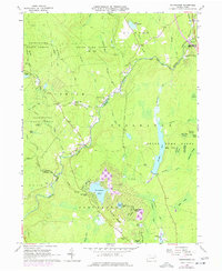
1965 Map of Thornhurst
USGS Topo · Published 1977About this map
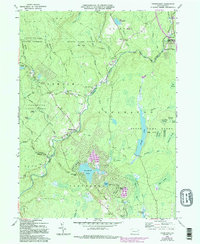
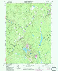
Lehigh River drainage patterns define this mid-1960s landscape where the borders of Lackawanna, Wayne, Monroe, and Luzerne counties meet. The small settlements of Clifton and Thornhurst anchor the northern reaches, while the emergence of Locust Lakes Village to the south reflects mid-century residential development near Locust Lake and East Lake. The terrain is characterized by extensive wetlands and glacial features, including the curiously named City of Rome Swamp and City of Rome Dark Swamp, which sit alongside the large waters of Bradys Lake.
Find a feature on this map
70 named features on this map. Tap any name to fly to it.
Don’t see what you’re looking for? This feature index may not catch every label — zoom into the map to look around manually.
Map Details
Editions of this 1965 Thornhurst Map
6 editions found
Other maps of this area

1889 · Scranton
USGS Topo · 1:62,500

1891 · Scranton
USGS Topo · 1:62,500

1893 · Scranton
USGS Topo · 1:62,500

1919 · Pocono
USGS Topo · 1:62,500

1921 · Pocono
USGS Topo · 1:62,500

1922 · Stoddartsville
USGS Topo · 1:62,500

1923 · Pocono
USGS Topo · 1:62,500

1924 · Stoddartsville
USGS Topo · 1:62,500

1928 · Ariel
USGS Topo · 1:62,500

1932 · Ariel
USGS Topo · 1:62,500
Featured Places
- Clifton Township, PA
- Thornhurst Township, PA
- Buck Township, PA
- Tobyhanna Township, PA
- Lehigh Township, PA