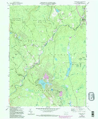
1965 Map of Thornhurst
USGS Topo · Published 1994About this map
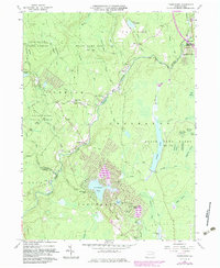
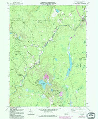
Lehigh River drainage patterns and the transition from early timbering and transport to 20th-century recreation define this survey of the Thornhurst area. Settlement is concentrated around the small village of Clifton and the more modern Locust Lakes Village, while the surrounding landscape is marked by the sprawling State Game Lands No 135 and Lackawanna State Forest. Genealogists will find the Clifton Cem, Pine Grove Cem, and Locust Ridge Cem as vital local records of established families. The map reveals the industrial and transport history of the region through labels such as the Old Railroad Grade and numerous extraction sites including a Quarry and various Gravel Pits. Water features are abundant, ranging from the named swamps like City of Rome Swamp and Blexley Swamp to planned residential waters like Arrowhead Lake and Lake Champagne.
Find a feature on this map
72 named features on this map. Tap any name to fly to it.
Don’t see what you’re looking for? This feature index may not catch every label — zoom into the map to look around manually.
Map Details
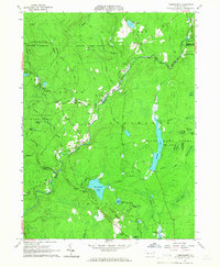
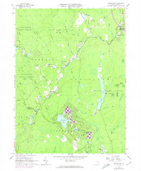
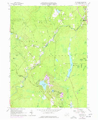
Editions of this 1965 Thornhurst Map
6 editions found
Other maps of this area

1889 · Scranton
USGS Topo · 1:62,500

1891 · Scranton
USGS Topo · 1:62,500

1893 · Scranton
USGS Topo · 1:62,500

1919 · Pocono
USGS Topo · 1:62,500

1921 · Pocono
USGS Topo · 1:62,500

1922 · Stoddartsville
USGS Topo · 1:62,500

1923 · Pocono
USGS Topo · 1:62,500

1924 · Stoddartsville
USGS Topo · 1:62,500

1928 · Ariel
USGS Topo · 1:62,500

1932 · Ariel
USGS Topo · 1:62,500
Featured Places
- Clifton Township, PA
- Thornhurst Township, PA
- Buck Township, PA
- Tobyhanna Township, PA
- Lehigh Township, PA