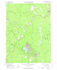
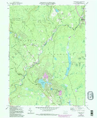
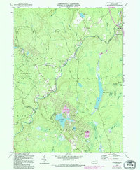
1965 Map of Thornhurst
USGS Topo · Published 1973About this map
Thornhurst sits at the confluence of the Lehigh River and Choke Creek, serving as a central point in a landscape defined by state-managed forests and game lands. This 1965 survey reveals a region transitioning from its industrial roots to a recreation-focused economy, with developments like Locust Lakes Village and Arrowhead Lake emerging alongside older rural landmarks. Evidence of the area's earlier timber and transport history remains visible in the Old Railroad Grade and labels for Tannery Creek and Fenner Mill Run.
Find a feature on this map
75 named features on this map. Tap any name to fly to it.
Don’t see what you’re looking for? This feature index may not catch every label — zoom into the map to look around manually.
Map Details
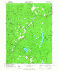
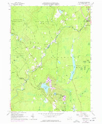
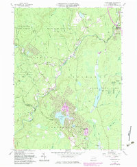
Editions of this 1965 Thornhurst Map
6 editions found
Other maps of this area

1889 · Scranton
USGS Topo · 1:62,500

1891 · Scranton
USGS Topo · 1:62,500

1893 · Scranton
USGS Topo · 1:62,500

1919 · Pocono
USGS Topo · 1:62,500

1921 · Pocono
USGS Topo · 1:62,500

1922 · Stoddartsville
USGS Topo · 1:62,500

1923 · Pocono
USGS Topo · 1:62,500

1924 · Stoddartsville
USGS Topo · 1:62,500

1928 · Ariel
USGS Topo · 1:62,500

1932 · Ariel
USGS Topo · 1:62,500
Featured Places
- Clifton Township, PA
- Thornhurst Township, PA
- Buck Township, PA
- Tobyhanna Township, PA
- Lehigh Township, PA