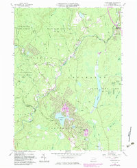
1965 Map of Thornhurst
USGS Topo · Published 1983About this map
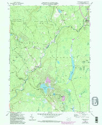
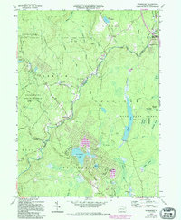
The Lehigh River carves a deep valley through this landscape on the border of Lackawanna and Monroe Counties, serving as the primary geographic corridor for the settlements of Clifton and Thornhurst. During the mid-1960s, the area shows a clear transition from timber and resource management to seasonal residential development. To the east, the extensive State Game Lands No 127 and Lackawanna State Forest preserve the high plateaus, while the development of Locust Lakes Village and Arrowhead Lake indicates the rising importance of recreational communities. Industrial history is visible in the abandoned Old Wagner Grade Railroad and scattered excavations such as the Quarry near Pond Creek. Local genealogists can locate several historic burial grounds, including Clifton Cem and the Pine Grove Cem, which remain as anchors of the earlier rural population centers near the river forks.
Find a feature on this map
74 named features on this map. Tap any name to fly to it.
Don’t see what you’re looking for? This feature index may not catch every label — zoom into the map to look around manually.
Map Details
Editions of this 1965 Thornhurst Map
6 editions found
Other maps of this area

1889 · Scranton
USGS Topo · 1:62,500

1891 · Scranton
USGS Topo · 1:62,500

1893 · Scranton
USGS Topo · 1:62,500

1919 · Pocono
USGS Topo · 1:62,500

1921 · Pocono
USGS Topo · 1:62,500

1922 · Stoddartsville
USGS Topo · 1:62,500

1923 · Pocono
USGS Topo · 1:62,500

1924 · Stoddartsville
USGS Topo · 1:62,500

1928 · Ariel
USGS Topo · 1:62,500

1932 · Ariel
USGS Topo · 1:62,500
Featured Places
- Clifton Township, PA
- Thornhurst Township, PA
- Buck Township, PA
- Tobyhanna Township, PA
- Lehigh Township, PA