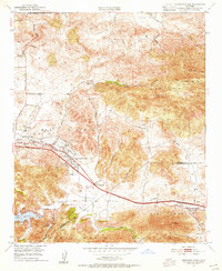
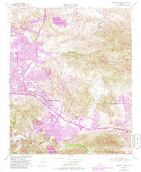
1950 Map of Thousand Oaks
USGS Topo · Published 1955About this map
Thousand Oaks and its neighboring valleys appear here at the midpoint of the twentieth century, just as significant infrastructure began to reshape the El Conejo region. The landscape is defined by the high elevations of the Simi Hills and Santa Monica Mountains, with early settlement nodes like Greenwich Village and Lang Ranch dotting the map. Central to the area's development is Ventura Blvd, which is shown under construction in sections as it cuts through Russell Valley. This period marks the transition of the region from a collection of isolated ranches and small communities into a more connected suburban corridor.
Find a feature on this map
36 named features on this map. Tap any name to fly to it.
Don’t see what you’re looking for? This feature index may not catch every label — zoom into the map to look around manually.
Map Details
Editions of this 1950 Thousand Oaks Map
5 editions found
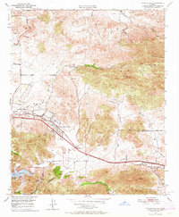
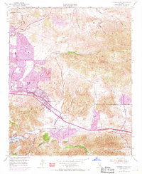
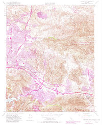
Other maps of this area

1900 · Triunfo Pass
USGS Topo · 1:62,500

1900 · Piru
USGS Topo · 1:62,500

1903 · Calabasas
USGS Topo · 1:62,500

1903 · Camulos
USGS Topo · 1:125,000

1903 · Santa Susana
USGS Topo · 1:62,500

1921 · Piru
USGS Topo · 1:62,500

1921 · Triunfo Pass
USGS Topo · 1:62,500

1929 · Vejor
USGS Topo · 1:24,000

1932 · Seminole
USGS Topo · 1:24,000

1932 · Russell Valley
USGS Topo · 1:24,000