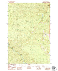
1985 Map of Three Lynx
USGS Topo · Published 1986About this map
Three Lynx sits at the confluence of several mountain waterways within the Mt Hood National Forest in the mid-1980s. This survey emphasizes the recreation and resource management of the region, detailing numerous specialized sites such as Lookout Springs Campground and Sunstrip Campground along the Clackamas River. The terrain is defined by a complex network of drainages, including the North Fork Clackamas River and Roaring River, which carve through the landscape near peaks like Squaw Mtn and Grouse Point.
Find a feature on this map
45 named features on this map. Tap any name to fly to it.
Don’t see what you’re looking for? This feature index may not catch every label — zoom into the map to look around manually.
Map Details
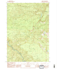
Editions of this 1985 Three Lynx Map
2 editions found
Other maps of this area

1916 · Estacada
USGS Topo · 1:125,000

1924 · Mount Hood
USGS Topo · 1:125,000

1927 · Mount Hood
USGS Topo · 1:125,000

1948 · Vancouver
USGS Topo · 1:250,000

1950 · Vancouver
USGS Topo · 1:250,000

1950 · Vancouver
USGS Topo · 1:250,000

1953 · The Dalles
USGS Topo · 1:250,000

1955 · Cherryville
USGS Topo · 1:62,500

1956 · The Dalles
USGS Topo · 1:250,000

1956 · Fish Creek Mtn
USGS Topo · 1:62,500