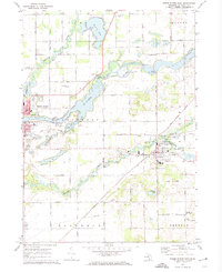
1972 Map of Three Rivers East
USGS Topo · Published 1974About this map
The confluence of the Portage River and the St Joseph River at Three Rivers anchors this early 1970s landscape, illustrating a region defined by its complex waterways. The settlement patterns follow these river valleys, with Centreville serving as a significant junction point where the Penn Central railroad tracks cross the Prairie River. This map captures a moment of transition where traditional landmarks like the Langley Covered Bridge and the Riverside Grange Hall sit alongside modern developments such as the Haines Memorial Airport.
Find a feature on this map
56 named features on this map. Tap any name to fly to it.
Don’t see what you’re looking for? This feature index may not catch every label — zoom into the map to look around manually.
Map Details
Editions of this 1972 Three Rivers East Map
2 editions found
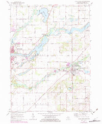
Other maps of this area

1914 · Three Rivers
USGS Topo · 1:62,500

1916 · Three Rivers
USGS Topo · 1:62,500

1918 · Leonidas
USGS Topo · 1:62,500

1922 · Schoolcraft
USGS Topo · 1:62,500

1943 · Three Rivers
USGS Topo · 1:62,500

1943 · Schoolcraft
USGS Topo · 1:62,500

1944 · Leonidas
USGS Topo · 1:62,500

1947 · Leonidas
USGS Topo · 1:62,500

1950 · Leonidas
USGS Topo · 1:62,500

1953 · Fort Wayne
USGS Topo · 1:250,000