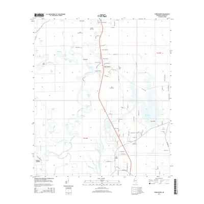
2015 Map of Three Rivers
USGS Topo · Published 2015About this map
The Pascagoula River and West Pascagoula River dominate this Jackson County landscape, creating a complex network of waterways, sloughs, and bayous. In this 2015 study, the settlement of Three Rivers sits near the confluence where these major channels diverge, supported by a dense collection of family-named roads such as Lum Cumbest Rd and Neelia Cumbest Rd. The terrain is defined by low-lying bottomlands, featuring numerous isolated lakes like Kirkwood Lake and Gater Lake, alongside prominent rises such as Cumbest Bluff.
Find a feature on this map
108 named features on this map. Tap any name to fly to it.
Don’t see what you’re looking for? This feature index may not catch every label — zoom into the map to look around manually.
Map Details
Editions of this 2015 Three Rivers Map
This is the sole edition of this map. No revisions or reprints were ever made.
Other maps of this area

1921 · Grand Bay
USGS Topo · 1:62,500

1941 · Hurley
USGS Topo · 1:62,500

1941 · Vancleave
USGS Topo · 1:62,500

1943 · Pascagoula
USGS Topo · 1:62,500

1943 · Grand Bay
USGS Topo · 1:62,500

1943 · Hurley
USGS Topo · 1:62,500

1943 · Vancleave
USGS Topo · 1:62,500

1944 · Vancleave
USGS Topo · 1:62,500

1953 · Mobile
USGS Topo · 1:250,000

1955 · Pascagoula
USGS Topo · 1:62,500