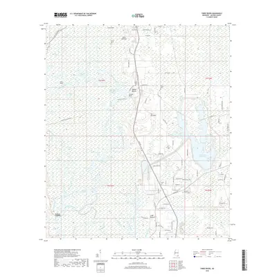
2018 Map of Three Rivers
USGS Topo · Published 2018About this map
The Pascagoula River system dominates this section of Jackson County, carving a complex network of oxbows and backwaters through the Mississippi lowlands. This survey illustrates the intricate watery geography of the area, featuring distinctive landmarks like the sharp bend at The Horseshoe and the elevated ground of Cumbest Bluff. The landscape is a mosaic of seasonal wetlands such as Big Swamp and Black Creek Swamp, interspersed with numerous named lakes like Gater Lake and Shingle Lake.
Find a feature on this map
103 named features on this map. Tap any name to fly to it.
Don’t see what you’re looking for? This feature index may not catch every label — zoom into the map to look around manually.
Map Details
Editions of this 2018 Three Rivers Map
This is the sole edition of this map. No revisions or reprints were ever made.
Other maps of this area

1921 · Grand Bay
USGS Topo · 1:62,500

1941 · Hurley
USGS Topo · 1:62,500

1941 · Vancleave
USGS Topo · 1:62,500

1943 · Pascagoula
USGS Topo · 1:62,500

1943 · Grand Bay
USGS Topo · 1:62,500

1943 · Hurley
USGS Topo · 1:62,500

1943 · Vancleave
USGS Topo · 1:62,500

1944 · Vancleave
USGS Topo · 1:62,500

1953 · Mobile
USGS Topo · 1:250,000

1955 · Pascagoula
USGS Topo · 1:62,500