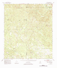
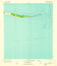
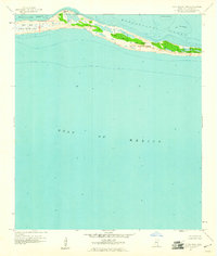
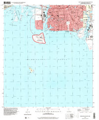
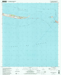
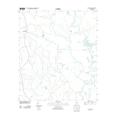
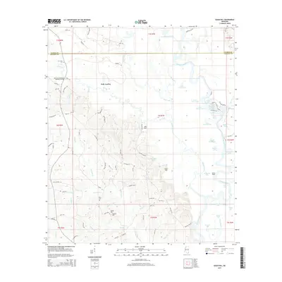
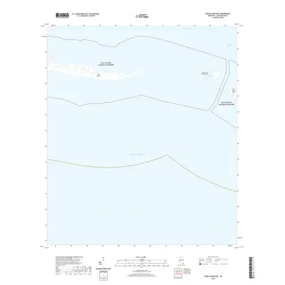
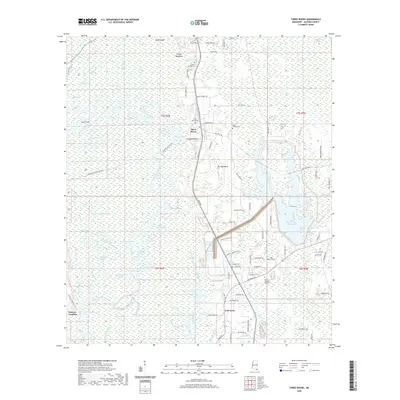
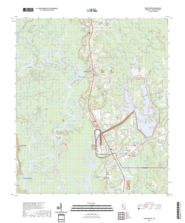
1982 Map of Three Rivers
USGS Topo · Published 1982About this map
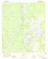
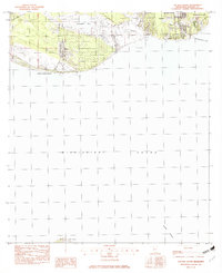
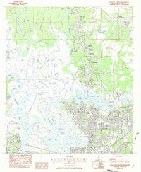
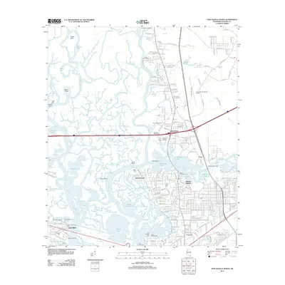
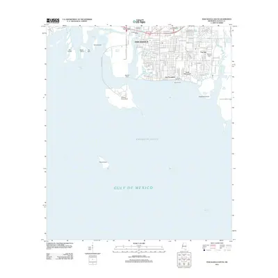
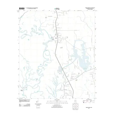
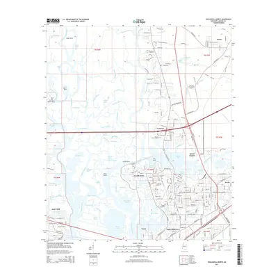
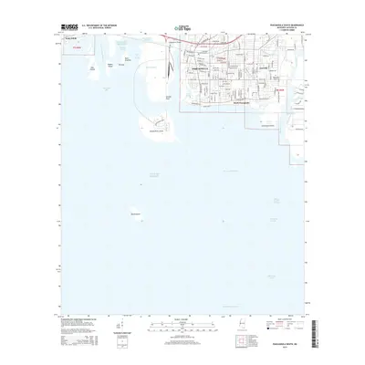
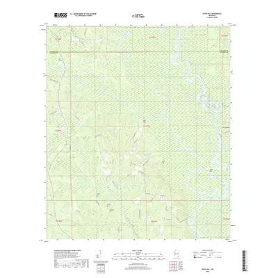
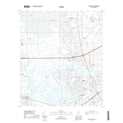
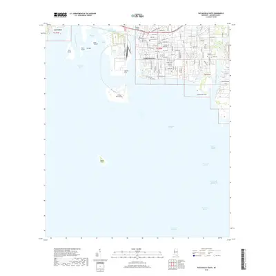
The Pascagoula River meanders through Jackson County, defining a complex labyrinth of sloughs, lakes, and oxbows such as The Horseshoe and Shingle Lake. This 1982 survey reveals a landscape where industrial infrastructure meets the preserve of the Pascagoula River State Wildlife Management Area. A prominent Powerplant stands near the confluence of the river and Black Creek, served by the Industrial Railroad, illustrating the 20th-century economic development of the Three Rivers area. Settlement patterns are concentrated near intersections like Coll Town and along roads like Wade Vancleave Road, where local community life is anchored by numerous small churches and cemeteries. Genealogists will find many family-named landmarks and spiritual centers, including Caswell Springs Ch, Davis Chapel Cem, and Melody Lane Ch, which serve as vital markers of the region's social history.
Find a feature on this map
75 named features on this map. Tap any name to fly to it.
Don’t see what you’re looking for? This feature index may not catch every label — zoom into the map to look around manually.
Map Details
Editions of this 1982 Three Rivers Map
2 editions found
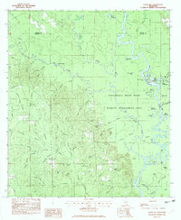
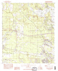
Historical Maps of Coll Town Through Time
86 maps found
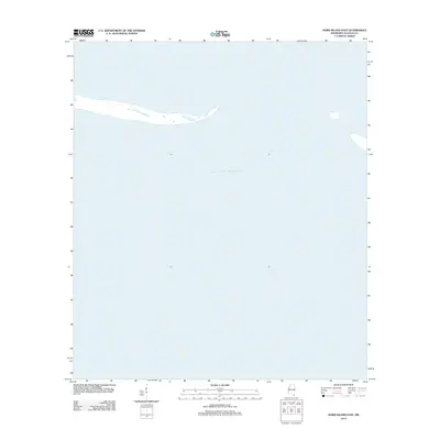
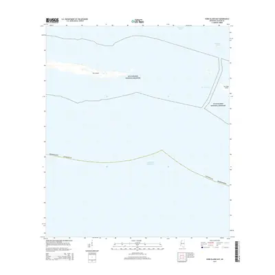
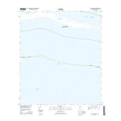
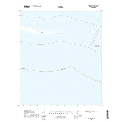
1941 Horn Island
Jackson County, MS
1942 Horn Island
Jackson County, MS
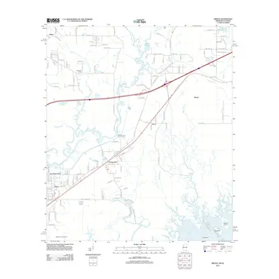
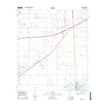
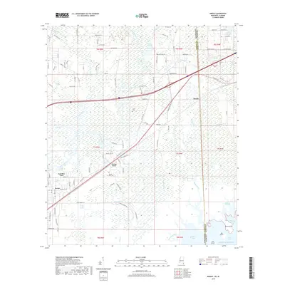
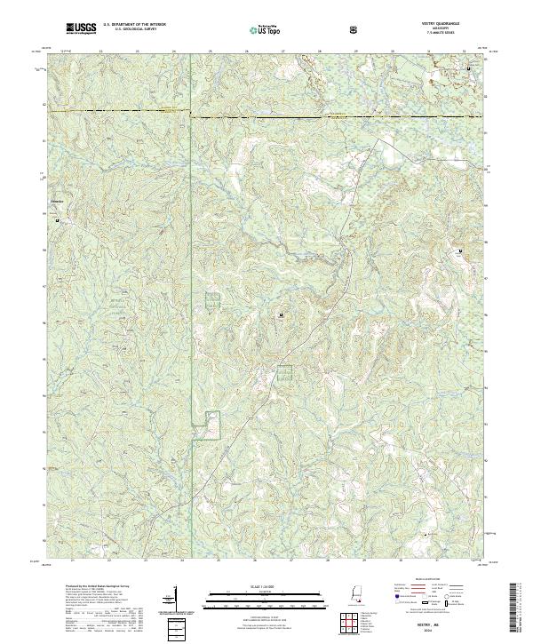
1954 Vestry
Jackson County, MS
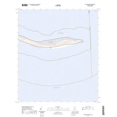
1958 Grand Bay SW
Jackson County, MS
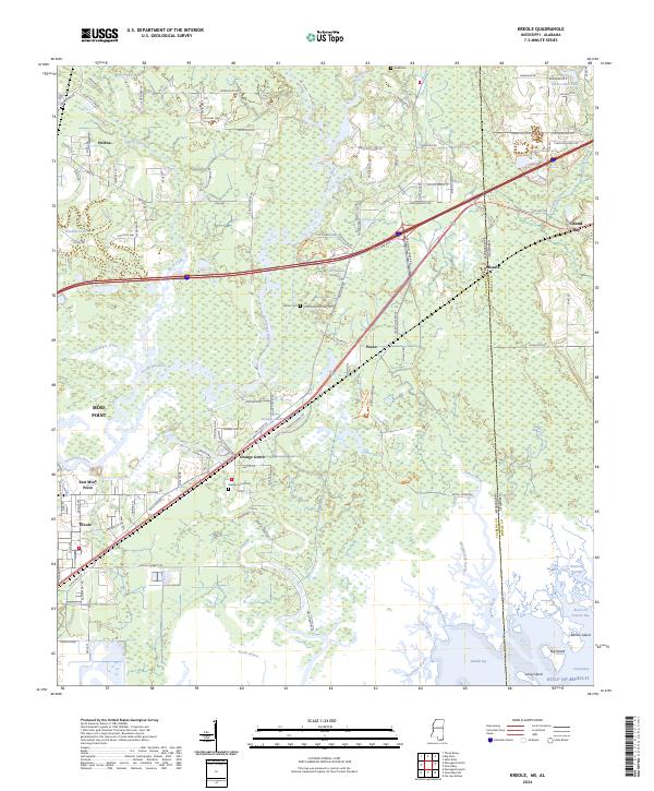
1958 Kreole
Jackson County, MS
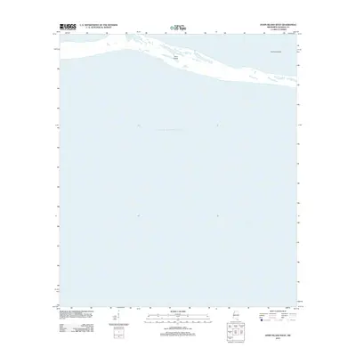
1958 Petit Bois Island
Jackson County, MS
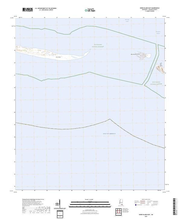
1960 Horn Island East
Jackson County, MS
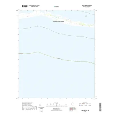
1960 Horn Island West
Jackson County, MS
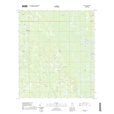
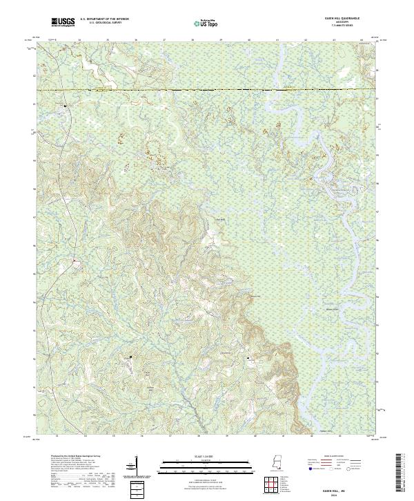
1982 Easen Hill
Jackson County, MS
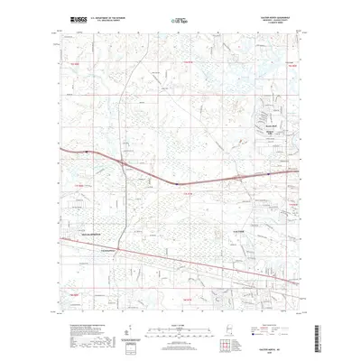
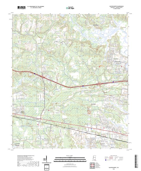
1982 Gautier North
Jackson County, MS
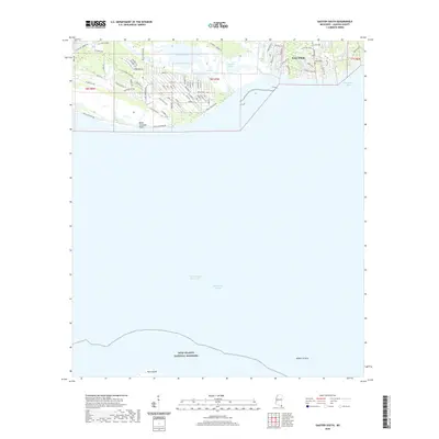
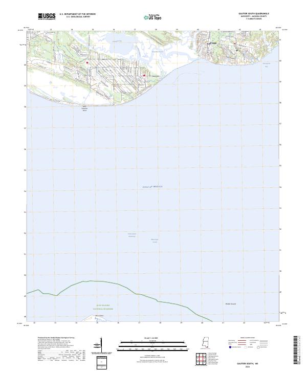
1982 Gautier South
Jackson County, MS
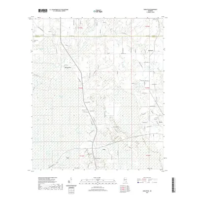
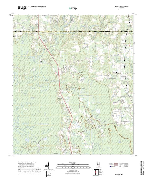
1982 Harleston
Jackson County, MS
1982 Horn Island East
Jackson County, MS
1982 Horn Island West
Jackson County, MS
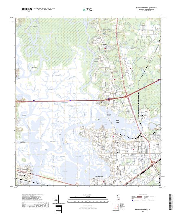
1982 Pascagoula North
Jackson County, MS
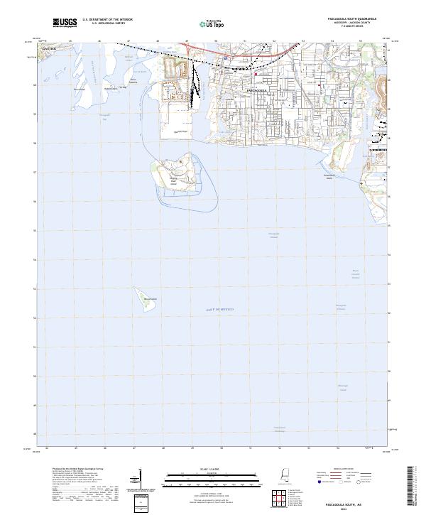
1982 Pascagoula South
Jackson County, MS
1982 Petit Bois Island
Jackson County, MS
1982 Three Rivers
Jackson County, MS
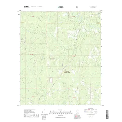
1982 Vestry
Jackson County, MS
1996 Pascagoula South
Jackson County, MS
2000 Horn Island East
Jackson County, MS
2000 Horn Island West
Jackson County, MS
2000 Petit Bois Island
Jackson County, MS
2012 Easen Hill
Jackson County, MS
2012 Gautier North
Jackson County, MS
2012 Gautier South
Jackson County, MS
2012 Harleston
Jackson County, MS
2012 Horn Island East
Jackson County, MS
2012 Horn Island West
Jackson County, MS
2012 Kreole
Jackson County, MS
2012 Pascagoula North
Jackson County, MS
2012 Pascagoula South
Jackson County, MS
2012 Petit Bois Island
Jackson County, MS
2012 Three Rivers
Jackson County, MS
2012 Vestry
Jackson County, MS
2015 Easen Hill
Jackson County, MS
2015 Gautier North
Jackson County, MS
2015 Gautier South
Jackson County, MS
2015 Harleston
Jackson County, MS
2015 Horn Island East
Jackson County, MS
2015 Horn Island West
Jackson County, MS
2015 Kreole
Jackson County, MS
2015 Pascagoula North
Jackson County, MS
2015 Pascagoula South
Jackson County, MS
2015 Petit Bois Island
Jackson County, MS
2015 Three Rivers
Jackson County, MS
2015 Vestry
Jackson County, MS
2018 Easen Hill
Jackson County, MS
2018 Gautier North
Jackson County, MS
2018 Gautier South
Jackson County, MS
2018 Harleston
Jackson County, MS
2018 Horn Island East
Jackson County, MS
2018 Horn Island West
Jackson County, MS
2018 Kreole
Jackson County, MS
2018 Pascagoula North
Jackson County, MS
2018 Pascagoula South
Jackson County, MS
2018 Petit Bois Island
Jackson County, MS
2018 Three Rivers
Jackson County, MS
2018 Vestry
Jackson County, MS
2020 Easen Hill
Jackson County, MS
2020 Gautier North
Jackson County, MS
2020 Gautier South
Jackson County, MS
2020 Harleston
Jackson County, MS
2020 Horn Island East
Jackson County, MS
2020 Horn Island West
Jackson County, MS
2020 Kreole
Jackson County, MS

2020 Pascagoula North
Jackson County, MS
2020 Pascagoula South
Jackson County, MS
2020 Petit Bois Island
Jackson County, MS
2020 Three Rivers
Jackson County, MS
2021 Vestry
Jackson County, MS
2024 Easen Hill
Jackson County, MS
2024 Gautier North
Jackson County, MS
2024 Gautier South
Jackson County, MS
2024 Harleston
Jackson County, MS
2024 Horn Island East
Jackson County, MS
2024 Horn Island West
Jackson County, MS
2024 Kreole
Jackson County, MS
2024 Pascagoula North
Jackson County, MS
2024 Pascagoula South
Jackson County, MS
2024 Petit Bois Island
Jackson County, MS
2024 Three Rivers
Jackson County, MS
2024 Vestry
Jackson County, MS
2025 Horn Island East
Jackson County, MS
2025 Horn Island West
Jackson County, MS
2025 Petit Bois Island
Jackson County, MS