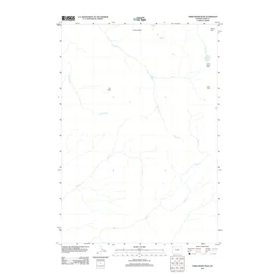
2012 Map of Three Rivers Peak
USGS Topo · Published 2012About this map
Three Rivers Peak stands as the central landmark of this high-elevation wilderness in Park County, where the headwaters of several significant drainages originate. This area marks a critical hydrologic divide, evidenced by the convergence of various water systems. The northern reaches are defined by Gallatin Lake and the nascent Gallatin River, which flows near Bighorn Pass.
Find a feature on this map
11 named features on this map. Tap any name to fly to it.
Don’t see what you’re looking for? This feature index may not catch every label — zoom into the map to look around manually.
Map Details
Editions of this 2012 Three Rivers Peak Map
This is the sole edition of this map. No revisions or reprints were ever made.
Other maps of this area

1885 · Gallatin
USGS Topo · 1:125,000

1885 · Gallatin
USGS Topo · 1:125,000

1901 · Gallatin
USGS Topo · 1:125,000

1908 · Gallatin
USGS Topo · 1:125,000

1911 · Gallatin
USGS Topo · 1:125,000

1955 · Ashton
USGS Topo · 1:250,000

1958 · Ashton
USGS Topo · 1:250,000

1958 · Madison Junction
USGS Topo · 1:62,500

1958 · Mount Holmes
USGS Topo · 1:62,500

1958 · West Yellowstone
USGS Topo · 1:62,500