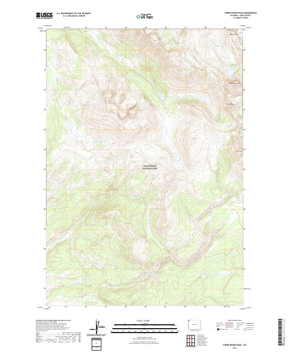
2021 Map of Three Rivers Peak
USGS Topo · Published 2021About this map
Yellowstone National Park dominates this terrain, where the headwaters of major drainage systems converge. High-altitude relief is defined by Three Rivers Peak, a geographic hub for the Gallatin River and several significant creeks. The landscape is carved by the winding paths of Grayling Cr and Gneiss Cr, while the northeastern corner captures the origin point of the Gallatin at Gallatin Lake.
Find a feature on this map
19 named features on this map. Tap any name to fly to it.
Don’t see what you’re looking for? This feature index may not catch every label — zoom into the map to look around manually.
Map Details
Editions of this 2021 Three Rivers Peak Map
This is the sole edition of this map. No revisions or reprints were ever made.
Other maps of this area

1885 · Gallatin
USGS Topo · 1:125,000

1885 · Gallatin
USGS Topo · 1:125,000

1901 · Gallatin
USGS Topo · 1:125,000

1908 · Gallatin
USGS Topo · 1:125,000

1911 · Gallatin
USGS Topo · 1:125,000

1955 · Ashton
USGS Topo · 1:250,000

1958 · Ashton
USGS Topo · 1:250,000

1958 · Madison Junction
USGS Topo · 1:62,500

1958 · Mount Holmes
USGS Topo · 1:62,500

1958 · West Yellowstone
USGS Topo · 1:62,500